Chiplūn night lights from space
Night Light of Chiplūn (Maharashtra) from space (India) Src. Average luminocity for 10x10km area is 18.3223% and for 50x50km: 1.9301%.
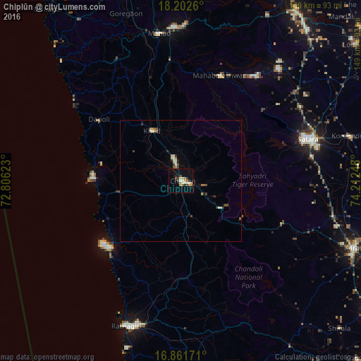
Analysis of Chiplūn night lights 2016
Square area 10x10 km:
 0%
0%90-99
4.96%80-89
1.45%70-79
4.13%60-69
1.86%50-59
2.48%40-49
1.03%30-39
2.69%20-29
2.27%10-19
11.36%0-9
67.77%Square area 50x50 km:
0%90-99
0.43%80-89
0.19%70-79
0.34%60-69
0.15%50-59
0.35%40-49
0.22%30-39
0.41%20-29
0.19%10-19
0.72%0-9
96.99%Clear (daylight) street map image can be seen on geolist.org.
Map coordinates:
18° 12' 9.4" North, 72° 48' 22.4" East
17° 32' 0.2" North, 73° 30' 33.7" East
16° 51' 42.2" North, 74° 12' 44.9" East
Some cities around Chiplūn sort by population:
• Koynanagar
31.1 km =19.3 mi,  118°
118°
• Khed
23.8 km =14.8 mi,  329°
329°
• Pānchgani
53.3 km =33.1 mi,  35°
35°
• Mahābaleshwar
12 km =7.5 mi,  284°
284°
• Pātan
45.2 km =28.1 mi,  112°
112°
• Mākhjan
29.3 km =18.2 mi,  181°
181°
• Dābhol
35.5 km =22.1 mi, 280°
• Jalgaon
40.8 km =25.4 mi,  304°
304°
1274119 (p: 51,437)
Sources (retrieved 2019-11-25):
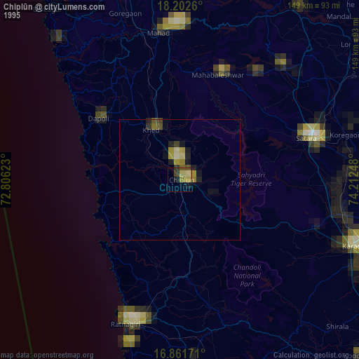
» NASA, Earths city lights 1995
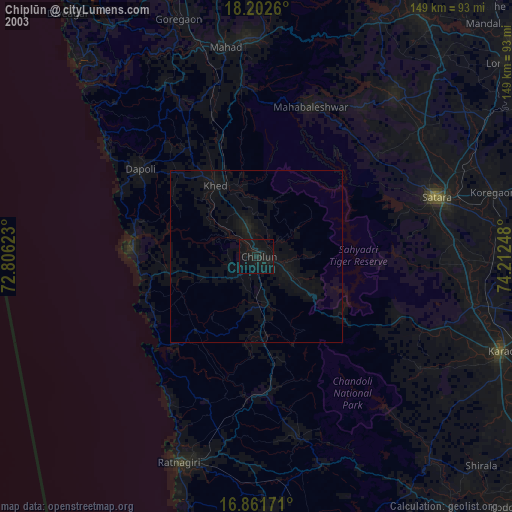
» NASA city lights 2003
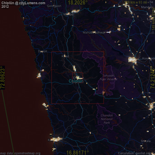
» Earth at Night: Flat Maps 2012, 2016