Malkapur night lights from space
Night Light of Malkapur (Maharashtra) from space (India) Src. Average luminocity for 10x10km area is 35.6674% and for 50x50km: 7.2481%.
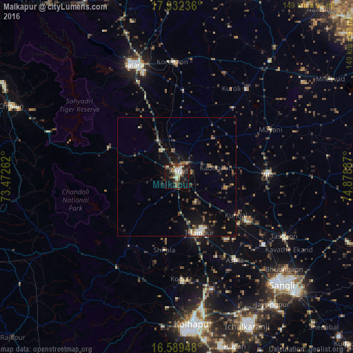
Analysis of Malkapur night lights 2016
Square area 10x10 km:
 1.45%
1.45%90-99
7.44%80-89
5.58%70-79
3.31%60-69
4.96%50-59
7.02%40-49
5.99%30-39
5.37%20-29
10.12%10-19
34.71%0-9
14.05%Square area 50x50 km:
0.18%90-99
0.84%80-89
0.63%70-79
0.47%60-69
0.92%50-59
1.63%40-49
1.49%30-39
1.58%20-29
2.36%10-19
6.08%0-9
83.81%Clear (daylight) street map image can be seen on geolist.org.
Map coordinates:
17° 55' 56.5" North, 73° 28' 21.4" East
17° 15' 43.7" North, 74° 10' 32.7" East
16° 35' 22.1" North, 74° 52' 43.9" East
Some cities around Malkapur sort by population:
• Satara
50.9 km =31.6 mi,  337°
337°
• Karād
3.1 km =1.9 mi,  12°
12°
• Vite
38.5 km =23.9 mi,  88°
88°
• Ashta
42.7 km =26.5 mi,  144°
144°
• Koynanagar
46 km =28.6 mi,  289°
289°
• Kodoli
42.9 km =26.7 mi,  177°
177°
• Rahimatpur
36.8 km =22.9 mi,  3°
3°
• Pātan
31.7 km =19.7 mi, 293°
11185528 (p: 32,000)
Sources (retrieved 2019-11-25):
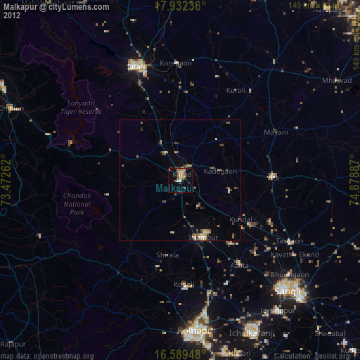
» Earth at Night: Flat Maps 2012, 2016