Karād night lights from space
Night Light of Karād (Maharashtra) from space (India) Src. Average luminocity for 10x10km area is 38.7913% and for 50x50km: 6.6124%.
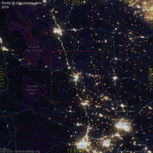
Analysis of Karād night lights 2016
Square area 10x10 km:
 1.45%
1.45%90-99
7.44%80-89
6.2%70-79
3.1%60-69
7.23%50-59
8.47%40-49
5.17%30-39
5.37%20-29
13.22%10-19
41.12%0-9
1.24%Square area 50x50 km:
0.07%90-99
0.61%80-89
0.51%70-79
0.41%60-69
0.9%50-59
1.55%40-49
1.47%30-39
1.61%20-29
2.39%10-19
5.62%0-9
84.86%Clear (daylight) street map image can be seen on geolist.org.
Map coordinates:
17° 57' 34.2" North, 73° 28' 43.4" East
17° 17' 21.7" North, 74° 10' 54.6" East
16° 37' 0.5" North, 74° 53' 5.9" East
Some cities around Karād sort by population:
• Satara
48.4 km =30.1 mi,  335°
335°
• Vite
37.8 km =23.5 mi,  92°
92°
• Ashta
44.9 km =27.9 mi,  147°
147°
• Malkapur
3.1 km =1.9 mi,  192°
192°
• Koynanagar
45.7 km =28.4 mi,  285°
285°
• Kodoli
45.9 km =28.5 mi,  178°
178°
• Rahimatpur
33.7 km =20.9 mi,  3°
3°
• Pātan
31.3 km =19.4 mi, 287°
1267904 (p: 55,663)
Sources (retrieved 2019-11-25):
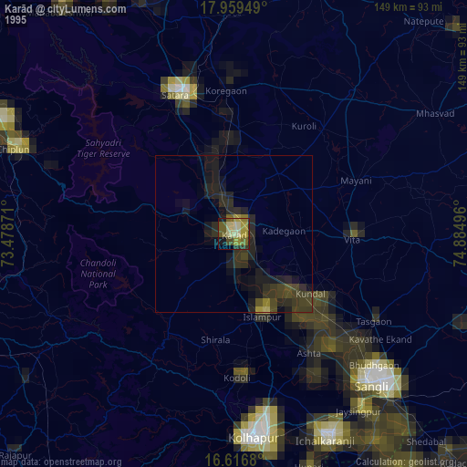
» NASA, Earths city lights 1995
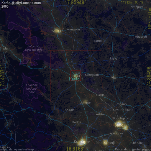
» NASA city lights 2003
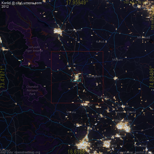
» Earth at Night: Flat Maps 2012, 2016