Kovūr night lights from space
Night Light of Kovūr (Andhra Pradesh) from space (India) Src. Average luminocity for 10x10km area is 57.8571% and for 50x50km: 20.8342%.
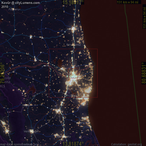
Analysis of Kovūr night lights 2016
Square area 10x10 km:
 4.33%
4.33%90-99
13.85%80-89
12.99%70-79
8.23%60-69
3.03%50-59
10.39%40-49
15.58%30-39
12.55%20-29
15.8%10-19
3.25%0-9
0%Square area 50x50 km:
0.74%90-99
3.19%80-89
2.84%70-79
1.79%60-69
2.69%50-59
4.59%40-49
4.6%30-39
5.4%20-29
7.53%10-19
13.24%0-9
53.41%Clear (daylight) street map image can be seen on geolist.org.
Map coordinates:
15° 10' 48.6" North, 79° 16' 55.4" East
14° 30' 1.8" North, 79° 59' 6.6" East
13° 49' 7.5" North, 80° 41' 17.9" East
Some cities around Kovūr sort by population:
• Nellore
5.6 km =3.5 mi,  178°
178°
• Kāvali
46.2 km =28.7 mi,  1°
1°
• Gūdūr
41.4 km =25.7 mi,  200°
200°
• Kandukūr
80 km =49.7 mi,  353°
353°
• Nāyudupet
66.7 km =41.4 mi,  188°
188°
• Venkatagiri
74.3 km =46.2 mi,  215°
215°
• Vadlapūdi
28.7 km =17.8 mi, 222°
• Singarāyakonda
81.3 km =50.5 mi, 3°
1265888 (p: 35,600)
Sources (retrieved 2019-11-25):
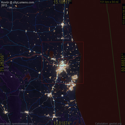
» Earth at Night: Flat Maps 2012, 2016