Kāvali night lights from space
Night Light of Kāvali (Andhra Pradesh) from space (India) Src. Average luminocity for 10x10km area is 34.064% and for 50x50km: 5.4703%.
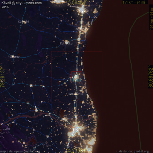
Analysis of Kāvali night lights 2016
Square area 10x10 km:
 1.45%
1.45%90-99
10.95%80-89
1.65%70-79
2.69%60-69
3.51%50-59
8.26%40-49
4.75%30-39
4.34%20-29
5.99%10-19
46.9%0-9
9.5%Square area 50x50 km:
0.06%90-99
0.65%80-89
0.31%70-79
0.5%60-69
0.79%50-59
1.31%40-49
1.2%30-39
1.36%20-29
1.27%10-19
4.46%0-9
88.1%Clear (daylight) street map image can be seen on geolist.org.
Map coordinates:
15° 35' 40.7" North, 79° 17' 28.9" East
14° 54' 58.7" North, 79° 59' 40.2" East
14° 14' 8.9" North, 80° 41' 51.4" East
Some cities around Kāvali sort by population:
• Nellore
51.9 km =32.2 mi,  180°
180°
• Ongole
65.5 km =40.7 mi,  4°
4°
• Gūdūr
86.5 km =53.7 mi,  190°
190°
• Kandukūr
34.7 km =21.6 mi,  343°
343°
• Kovūr
46.2 km =28.7 mi, 181°
• Kanigiri
75.5 km =46.9 mi,  316°
316°
• Vadlapūdi
70.3 km =43.7 mi,  196°
196°
• Singarāyakonda
35.1 km =21.8 mi,  5°
5°
1267394 (p: 83,352)
Sources (retrieved 2019-11-25):
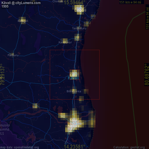
» NASA, Earths city lights 1995
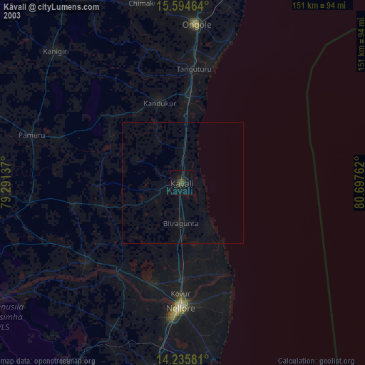
» NASA city lights 2003
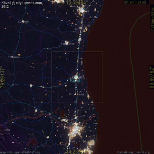
» Earth at Night: Flat Maps 2012, 2016