Gūdūr night lights from space
Night Light of Gūdūr (Andhra Pradesh) from space (India) Src. Average luminocity for 10x10km area is 30.3723% and for 50x50km: 10.6647%.
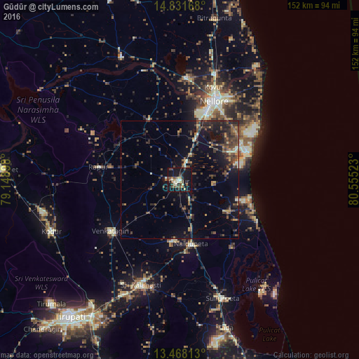
Analysis of Gūdūr night lights 2016
Square area 10x10 km:
 0.43%
0.43%90-99
5.19%80-89
5.41%70-79
3.68%60-69
0.43%50-59
7.79%40-49
7.58%30-39
3.9%20-29
4.98%10-19
50.87%0-9
9.74%Square area 50x50 km:
0.05%90-99
0.78%80-89
0.98%70-79
1.06%60-69
0.99%50-59
2.28%40-49
3.5%30-39
2.95%20-29
4.01%10-19
9.68%0-9
73.72%Clear (daylight) street map image can be seen on geolist.org.
Map coordinates:
14° 49' 54" North, 79° 8' 56.3" East
14° 9' 3.3" North, 79° 51' 7.6" East
13° 28' 5.3" North, 80° 33' 18.8" East
Some cities around Gūdūr sort by population:
• Nellore
36.3 km =22.6 mi,  23°
23°
• Nāyudupet
27.5 km =17.1 mi,  170°
170°
• Sūlūru
53.2 km =33.1 mi,  160°
160°
• Kovūr
41.4 km =25.7 mi, 20°
• Venkatagiri
36.2 km =22.5 mi,  234°
234°
• Renigunta
66.5 km =41.3 mi,  213°
213°
• Akkarampalle
72.6 km =45.1 mi,  219°
219°
• Vadlapūdi
18.5 km =11.5 mi,  343°
343°
1270791 (p: 74,851)
Sources (retrieved 2019-11-25):
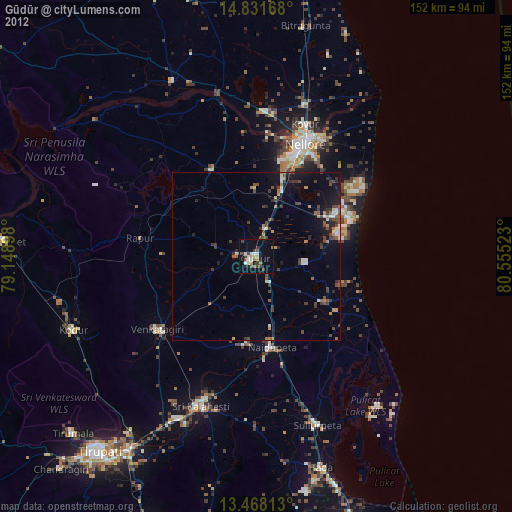
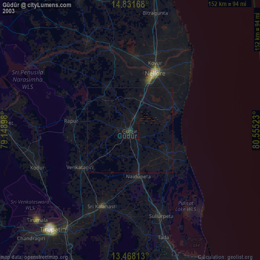
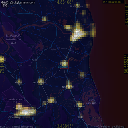
» NASA, Earths city lights 1995
» NASA city lights 2003
» Earth at Night: Flat Maps 2012, 2016