Venkatagiri night lights from space
Night Light of Venkatagiri (Andhra Pradesh) from space (India) Src. Average luminocity for 10x10km area is 16.9215% and for 50x50km: 5.2306%.
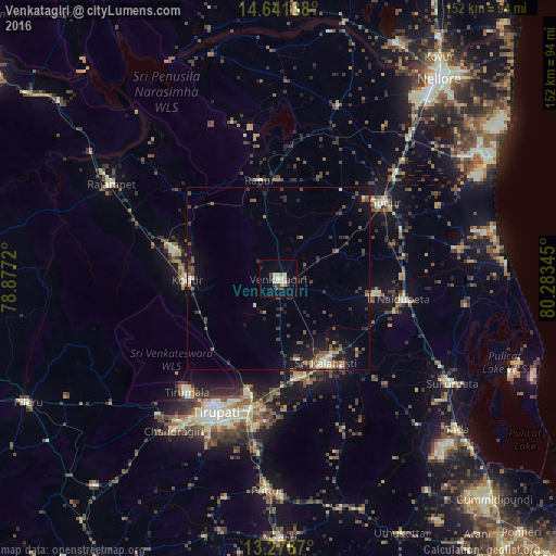
Analysis of Venkatagiri night lights 2016
Square area 10x10 km:
 0%
0%90-99
3.51%80-89
6.4%70-79
0.83%60-69
0.83%50-59
0%40-49
1.86%30-39
2.89%20-29
3.51%10-19
4.55%0-9
75.62%Square area 50x50 km:
0.03%90-99
0.69%80-89
0.67%70-79
0.27%60-69
0.58%50-59
1.09%40-49
1.28%30-39
1.19%20-29
1.72%10-19
3.62%0-9
88.86%Clear (daylight) street map image can be seen on geolist.org.
Map coordinates:
14° 38' 29" North, 78° 52' 37.9" East
13° 57' 36.2" North, 79° 34' 49.2" East
13° 16' 36.1" North, 80° 17' 0.4" East
Some cities around Venkatagiri sort by population:
• Tirupati
40 km =24.9 mi,  205°
205°
• Gūdūr
36.2 km =22.5 mi,  54°
54°
• Nāyudupet
34.4 km =21.4 mi,  99°
99°
• Renigunta
35.1 km =21.8 mi,  192°
192°
• Akkarampalle
38.6 km =24 mi, 206°
• Tirumala
39.6 km =24.6 mi,  218°
218°
• Vadlapūdi
45.9 km =28.5 mi,  31°
31°
• Narasingāpuram
48.4 km =30.1 mi, 216°
1253251 (p: 32,761)
Sources (retrieved 2019-11-25):
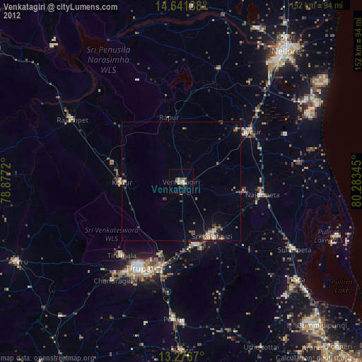
» Earth at Night: Flat Maps 2012, 2016