Nāyudupet night lights from space
Night Light of Nāyudupet (Andhra Pradesh) from space (India) Src. Average luminocity for 10x10km area is 22.624% and for 50x50km: 8.8373%.
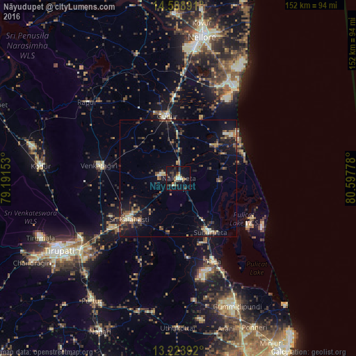
Analysis of Nāyudupet night lights 2016
Square area 10x10 km:
 0%
0%90-99
3.93%80-89
2.89%70-79
0.62%60-69
3.31%50-59
3.72%40-49
6.61%30-39
4.96%20-29
3.72%10-19
29.75%0-9
40.5%Square area 50x50 km:
0.04%90-99
1.06%80-89
0.98%70-79
0.78%60-69
1.07%50-59
1.92%40-49
2.01%30-39
1.93%20-29
2.68%10-19
7.91%0-9
79.63%Clear (daylight) street map image can be seen on geolist.org.
Map coordinates:
14° 35' 20.1" North, 79° 11' 29.5" East
13° 54' 26.7" North, 79° 53' 40.7" East
13° 13' 26.1" North, 80° 35' 52" East
Some cities around Nāyudupet sort by population:
• Tirupati
59.5 km =37 mi,  239°
239°
• Gūdūr
27.5 km =17.1 mi,  350°
350°
• Sūlūru
26.6 km =16.5 mi,  150°
150°
• Venkatagiri
34.4 km =21.4 mi,  279°
279°
• Renigunta
50.1 km =31.1 mi, 235°
• Akkarampalle
58.7 km =36.5 mi, 240°
• Vadlapūdi
45.9 km =28.5 mi, 347°
• Gummidipundi
60.2 km =37.4 mi,  157°
157°
1261567 (p: 45,769)
Sources (retrieved 2019-11-25):
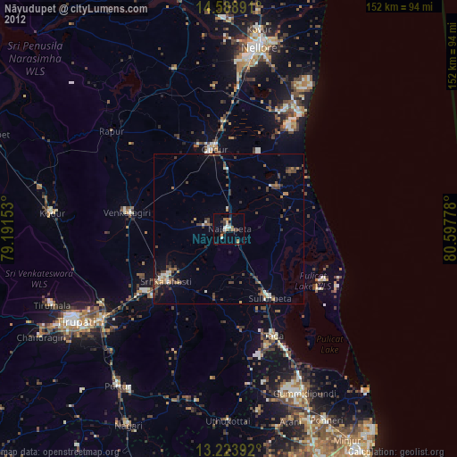
» Earth at Night: Flat Maps 2012, 2016