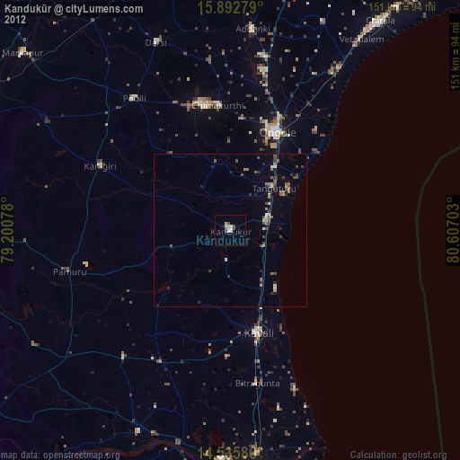
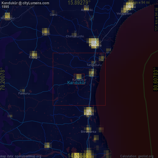
Kandukūr night lights from space
Night Light of Kandukūr (Andhra Pradesh) from space (India) Src. Average luminocity for 10x10km area is 14.6488% and for 50x50km: 6.2828%.
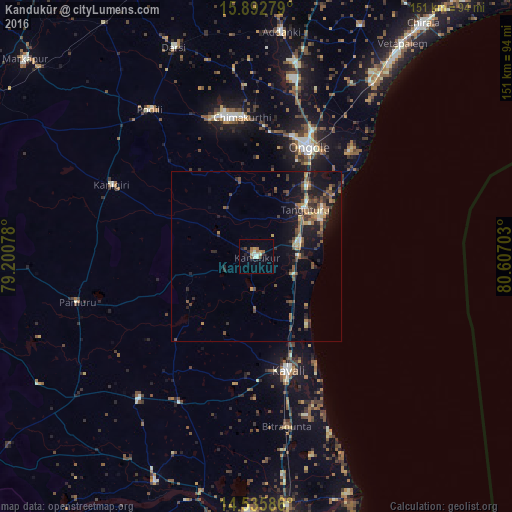

Analysis of Kandukūr night lights 2016
Square area 10x10 km:
 0%
0%90-99
4.13%80-89
1.86%70-79
1.45%60-69
3.51%50-59
1.24%40-49
1.86%30-39
0.62%20-29
2.69%10-19
0.62%0-9
82.02%Square area 50x50 km:
0.06%90-99
0.74%80-89
0.5%70-79
0.71%60-69
0.99%50-59
1.51%40-49
1.16%30-39
1.63%20-29
1.85%10-19
5.5%0-9
85.34%Clear (daylight) street map image can be seen on geolist.org.
Map coordinates:
15° 53' 34" North, 79° 12' 2.8" East
15° 12' 55.5" North, 79° 54' 14" East
14° 32' 9.1" North, 80° 36' 25.3" East
Some cities around Kandukūr sort by population:
• Ongole
35.4 km =22 mi,  25°
25°
• Kāvali
34.7 km =21.6 mi,  163°
163°
• Vetapālem
76.6 km =47.6 mi, 34°
• Darsi
66.2 km =41.1 mi,  338°
338°
• Addanki
66.6 km =41.4 mi,  6°
6°
• Kanigiri
47.5 km =29.5 mi,  296°
296°
• Singarāyakonda
13.4 km =8.3 mi,  82°
82°
• Pavuluru
76.2 km =47.3 mi,  21°
21°
1268111 (p: 53,662)
Sources (retrieved 2019-11-25):
» NASA, Earths city lights 1995
» NASA city lights 2003
» Earth at Night: Flat Maps 2012, 2016