Kottaiyūr night lights from space
Night Light of Kottaiyūr (Tamil Nadu) from space (India) Src. Average luminocity for 10x10km area is 29.124% and for 50x50km: 3.6968%.
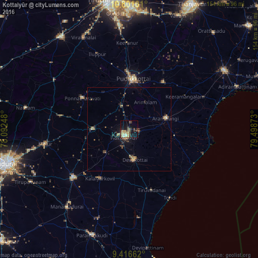
Analysis of Kottaiyūr night lights 2016
Square area 10x10 km:
 1.03%
1.03%90-99
3.1%80-89
8.26%70-79
5.99%60-69
1.03%50-59
4.96%40-49
8.88%30-39
2.69%20-29
2.07%10-19
24.79%0-9
37.19%Square area 50x50 km:
0.04%90-99
0.23%80-89
0.64%70-79
0.61%60-69
0.38%50-59
0.66%40-49
0.82%30-39
0.81%20-29
0.97%10-19
2.53%0-9
92.32%Clear (daylight) street map image can be seen on geolist.org.
Map coordinates:
10° 48' 3.6" North, 78° 5' 32.9" East
10° 6' 34.4" North, 78° 47' 44.2" East
9° 24' 59.8" North, 79° 29' 55.4" East
Some cities around Kottaiyūr sort by population:
• Pudukkottai
30.3 km =18.8 mi,  5°
5°
• Kāraikkudi
5.7 km =3.5 mi,  212°
212°
• Devakottai
18.3 km =11.4 mi,  170°
170°
• Arantāngi
22.5 km =14 mi,  71°
71°
• Ponnamarāvati
34.2 km =21.3 mi,  303°
303°
• Ālangudi
34.8 km =21.6 mi,  36°
36°
• Pallattūr
4.1 km =2.5 mi, 11°
• Arimalam
18.8 km =11.7 mi,  30°
30°
1265933 (p: 11,519)
Sources (retrieved 2019-11-25):
» Earth at Night: Flat Maps 2012, 2016