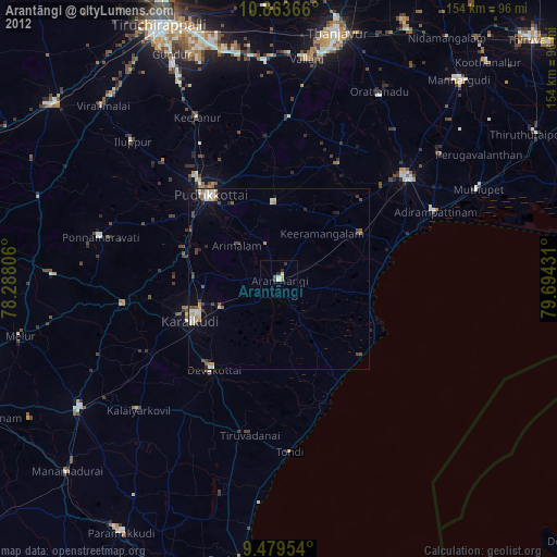
Arantāngi night lights from space
Night Light of Arantāngi (Tamil Nadu) from space (India) Src. Average luminocity for 10x10km area is 7.5992% and for 50x50km: 3.615%.
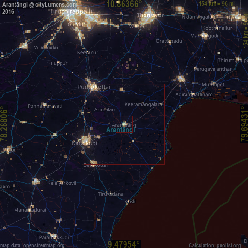
Analysis of Arantāngi night lights 2016
Square area 10x10 km:
 0%
0%90-99
1.45%80-89
1.86%70-79
0.83%60-69
0.62%50-59
2.69%40-49
1.24%30-39
0.83%20-29
0.41%10-19
0.83%0-9
89.26%Square area 50x50 km:
0.04%90-99
0.38%80-89
0.67%70-79
0.8%60-69
0.28%50-59
0.58%40-49
0.98%30-39
0.53%20-29
0.52%10-19
2.53%0-9
92.69%Clear (daylight) street map image can be seen on geolist.org.
Map coordinates:
10° 51' 49.2" North, 78° 17' 17" East
10° 10' 20.5" North, 78° 59' 28.2" East
9° 28' 46.3" North, 79° 41' 39.5" East
Some cities around Arantāngi sort by population:
• Pudukkottai
29.7 km =18.5 mi,  321°
321°
• Kāraikkudi
27.1 km =16.8 mi,  244°
244°
• Devakottai
31.1 km =19.3 mi,  216°
216°
• Peravurani
26.5 km =16.5 mi,  60°
60°
• Kottaiyūr
22.5 km =14 mi,  251°
251°
• Ālangudi
20.9 km =13 mi,  358°
358°
• Pallattūr
20.8 km =12.9 mi,  261°
261°
• Arimalam
14.9 km =9.3 mi,  308°
308°
1278448 (p: 35,621)
Sources (retrieved 2019-11-25):
» Earth at Night: Flat Maps 2012, 2016