Kāraikkudi night lights from space
Night Light of Kāraikkudi (Tamil Nadu) from space (India) Src. Average luminocity for 10x10km area is 34.6302% and for 50x50km: 3.8369%.
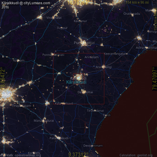
Analysis of Kāraikkudi night lights 2016
Square area 10x10 km:
 1.03%
1.03%90-99
3.51%80-89
9.5%70-79
8.47%60-69
1.45%50-59
3.72%40-49
8.88%30-39
6.4%20-29
4.13%10-19
34.71%0-9
18.18%Square area 50x50 km:
0.04%90-99
0.23%80-89
0.62%70-79
0.68%60-69
0.5%50-59
0.66%40-49
0.88%30-39
0.85%20-29
0.98%10-19
2.52%0-9
92.04%Clear (daylight) street map image can be seen on geolist.org.
Map coordinates:
10° 45' 27.7" North, 78° 3' 53" East
10° 3' 58.1" North, 78° 46' 4.2" East
9° 22' 23.2" North, 79° 28' 15.5" East
Some cities around Kāraikkudi sort by population:
• Pudukkottai
35.5 km =22.1 mi,  9°
9°
• Devakottai
14.6 km =9.1 mi,  155°
155°
• Arantāngi
27.1 km =16.8 mi,  64°
64°
• Ponnamarāvati
34.8 km =21.6 mi,  313°
313°
• Kottaiyūr
5.7 km =3.5 mi,  32°
32°
• Pallattūr
9.7 km =6 mi,  23°
23°
• Arimalam
24.5 km =15.2 mi, 31°
• Nāttarasankottai
32.1 km =19.9 mi,  227°
227°
1267885 (p: 91,908)
Sources (retrieved 2019-11-25):
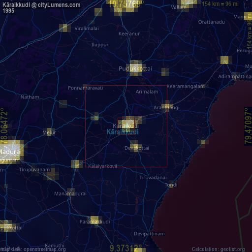
» NASA, Earths city lights 1995
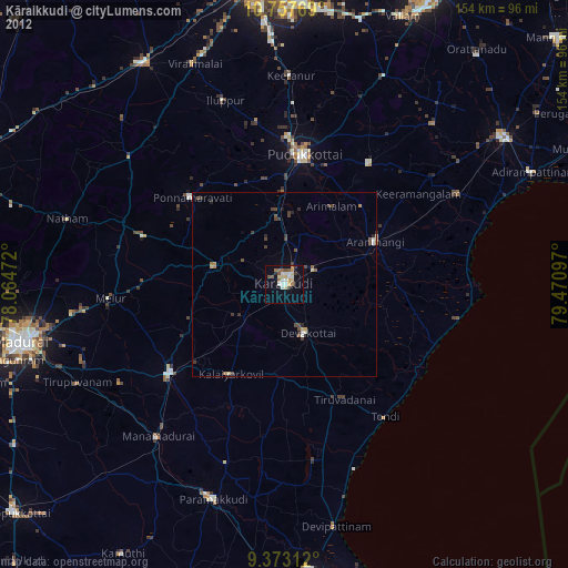
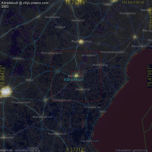
» NASA city lights 2003
» Earth at Night: Flat Maps 2012, 2016