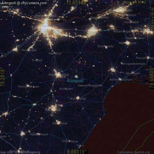
Ālangudi night lights from space
Night Light of Ālangudi (Tamil Nadu) from space (India) Src. Average luminocity for 10x10km area is 4.4401% and for 50x50km: 2.7847%.
Analysis of Ālangudi night lights 2016
Square area 10x10 km:
 0%
0%90-99
0%80-89
1.24%70-79
1.45%60-69
0.62%50-59
0%40-49
1.03%30-39
0.62%20-29
1.24%10-19
2.07%0-9
91.74%Square area 50x50 km:
0%90-99
0.29%80-89
0.4%70-79
0.42%60-69
0.24%50-59
0.49%40-49
0.72%30-39
0.68%20-29
0.71%10-19
2.04%0-9
94.02%Clear (daylight) street map image can be seen on geolist.org.
Map coordinates:
11° 3' 5.3" North, 78° 16' 54.5" East
10° 21' 38.2" North, 78° 59' 5.7" East
9° 40' 5.5" North, 79° 41' 17" East
Some cities around Ālangudi sort by population:
• Pudukkottai
18 km =11.2 mi,  277°
277°
• Arantāngi
20.9 km =13 mi,  178°
178°
• Peravurani
25 km =15.5 mi,  108°
108°
• Karambakkudi
20.3 km =12.6 mi,  57°
57°
• Kīranūr
31.8 km =19.8 mi,  317°
317°
• Pallattūr
31.1 km =19.3 mi,  219°
219°
• Arimalam
16.1 km =10 mi, 223°
• Annavāsal
33.1 km =20.6 mi,  289°
289°
1279059 (p: 10,617)
Sources (retrieved 2019-11-25):
» Earth at Night: Flat Maps 2012, 2016