Kukshi night lights from space
Night Light of Kukshi (Madhya Pradesh) from space (India) Src. Average luminocity for 10x10km area is 17.983% and for 50x50km: 3.1636%.
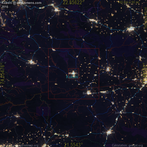
Analysis of Kukshi night lights 2016
Square area 10x10 km:
 0.95%
0.95%90-99
4.36%80-89
0%70-79
2.84%60-69
3.03%50-59
3.98%40-49
2.08%30-39
2.84%20-29
2.08%10-19
5.68%0-9
72.16%Square area 50x50 km:
0.07%90-99
0.45%80-89
0.25%70-79
0.42%60-69
0.55%50-59
0.62%40-49
0.52%30-39
0.62%20-29
0.81%10-19
0.92%0-9
94.77%Clear (daylight) street map image can be seen on geolist.org.
Map coordinates:
22° 51' 22.4" North, 74° 3' 17.1" East
22° 12' 24.4" North, 74° 45' 28.4" East
21° 33' 15.5" North, 75° 27' 39.6" East
Some cities around Kukshi sort by population:
• Barwāni
24.3 km =15.1 mi,  142°
142°
• Manāwar
34.3 km =21.3 mi,  84°
84°
• Rajpur
42.8 km =26.6 mi,  284°
284°
• Anjad
35.7 km =22.2 mi,  120°
120°
• Rajpur
49 km =30.4 mi,  127°
127°
• Jobat
30.4 km =18.9 mi,  320°
320°
• Rānāpur
54.7 km =34 mi,  333°
333°
• Bāg
17.3 km =10.7 mi,  11°
11°
1265752 (p: 26,183)
Sources (retrieved 2019-11-25):
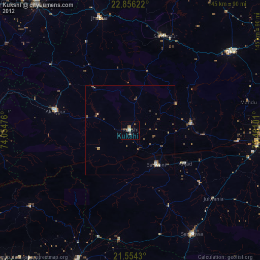
» Earth at Night: Flat Maps 2012, 2016