Barwāni night lights from space
Night Light of Barwāni (Madhya Pradesh) from space (India) Src. Average luminocity for 10x10km area is 18.6012% and for 50x50km: 4.2354%.
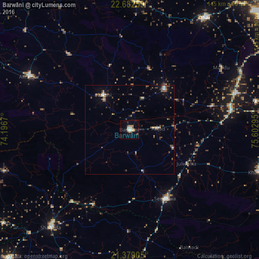
Analysis of Barwāni night lights 2016
Square area 10x10 km:
 0.79%
0.79%90-99
4.76%80-89
2.58%70-79
2.58%60-69
3.17%50-59
1.79%40-49
0.99%30-39
0.2%20-29
2.98%10-19
7.34%0-9
72.82%Square area 50x50 km:
0.14%90-99
0.72%80-89
0.24%70-79
0.39%60-69
0.45%50-59
1.07%40-49
0.94%30-39
0.81%20-29
0.98%10-19
1.2%0-9
93.06%Clear (daylight) street map image can be seen on geolist.org.
Map coordinates:
22° 40' 57.3" North, 74° 11' 48.1" East
22° 1' 56.4" North, 74° 53' 59.4" East
21° 22' 44.6" North, 75° 36' 10.6" East
Some cities around Barwāni sort by population:
• Sendhwa
43.6 km =27.1 mi,  152°
152°
• Manāwar
29.9 km =18.6 mi,  40°
40°
• Kukshi
24.3 km =15.1 mi,  322°
322°
• Anjad
16 km =9.9 mi,  86°
86°
• Rajpur
26.4 km =16.4 mi,  112°
112°
• Dharampuri
47.6 km =29.6 mi,  74°
74°
• Pānsemāl
46.3 km =28.8 mi,  206°
206°
• Bāg
38 km =23.6 mi,  342°
342°
1276810 (p: 47,343)
Sources (retrieved 2019-11-25):
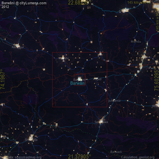
» Earth at Night: Flat Maps 2012, 2016