Lāharpur night lights from space
Night Light of Lāharpur (Uttar Pradesh) from space (India) Src. Average luminocity for 10x10km area is 11.8413% and for 50x50km: 8.2776%.
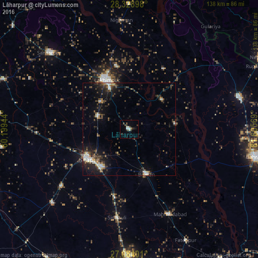
Analysis of Lāharpur night lights 2016
Square area 10x10 km:
 2.58%
2.58%90-99
1.39%80-89
0.79%70-79
0%60-69
0.79%50-59
1.59%40-49
2.38%30-39
4.17%20-29
0.79%10-19
3.97%0-9
81.55%Square area 50x50 km:
0.79%90-99
1.37%80-89
0.36%70-79
0.57%60-69
0.74%50-59
1.03%40-49
2.06%30-39
2.27%20-29
3.1%10-19
6.37%0-9
81.35%Clear (daylight) street map image can be seen on geolist.org.
Map coordinates:
28° 19' 44.3" North, 80° 11' 58" East
27° 42' 29.8" North, 80° 54' 9.2" East
27° 5' 2.4" North, 81° 36' 20.5" East
Some cities around Lāharpur sort by population:
• Sītāpur
27.1 km =16.8 mi,  233°
233°
• Lakhīmpur
29.3 km =18.2 mi,  335°
335°
• Biswān
25.4 km =15.8 mi,  158°
158°
• Khairābād
24.9 km =15.5 mi,  215°
215°
• Kheri
24 km =14.9 mi,  334°
334°
• Dhaurahra
37.1 km =23.1 mi,  29°
29°
• Maholi
42.5 km =26.4 mi,  263°
263°
• Amethi
37.2 km =23.1 mi,  22°
22°
1265310 (p: 55,911)
Sources (retrieved 2019-11-25):
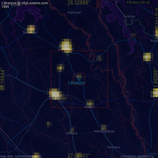
» NASA, Earths city lights 1995
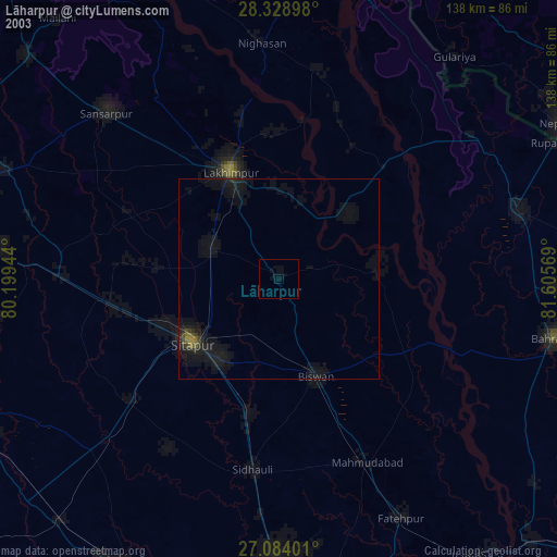
» NASA city lights 2003
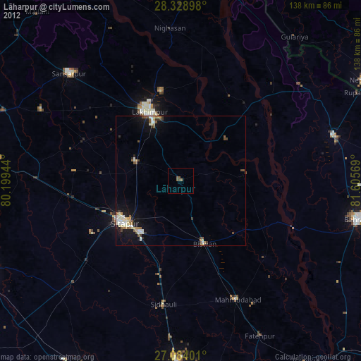
» Earth at Night: Flat Maps 2012, 2016