Biswān night lights from space
Night Light of Biswān (Uttar Pradesh) from space (India) Src. Average luminocity for 10x10km area is 16.127% and for 50x50km: 4.3846%.
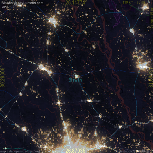
Analysis of Biswān night lights 2016
Square area 10x10 km:
 1.79%
1.79%90-99
4.56%80-89
0.79%70-79
0.79%60-69
1.59%50-59
2.58%40-49
1.59%30-39
2.58%20-29
1.98%10-19
5.95%0-9
75.79%Square area 50x50 km:
0.37%90-99
0.57%80-89
0.25%70-79
0.31%60-69
0.41%50-59
0.72%40-49
0.85%30-39
1.33%20-29
1.43%10-19
2.24%0-9
91.5%Clear (daylight) street map image can be seen on geolist.org.
Map coordinates:
28° 7' 3.9" North, 80° 17' 35" East
27° 29' 44.9" North, 80° 59' 46.2" East
26° 52' 13.3" North, 81° 41' 57.5" East
Some cities around Biswān sort by population:
• Sītāpur
31.8 km =19.8 mi,  283°
283°
• Lāharpur
25.4 km =15.8 mi,  338°
338°
• Mahmudābād
25.7 km =16 mi,  152°
152°
• Khairābād
24.1 km =15 mi, 278°
• Fatehpur
41.7 km =25.9 mi, 149°
• Sidhaulī
28.6 km =17.8 mi,  213°
213°
• Misrikh
46.4 km =28.8 mi,  261°
261°
• Itaunja
46.9 km =29.1 mi,  192°
192°
1275435 (p: 52,516)
Sources (retrieved 2019-11-25):
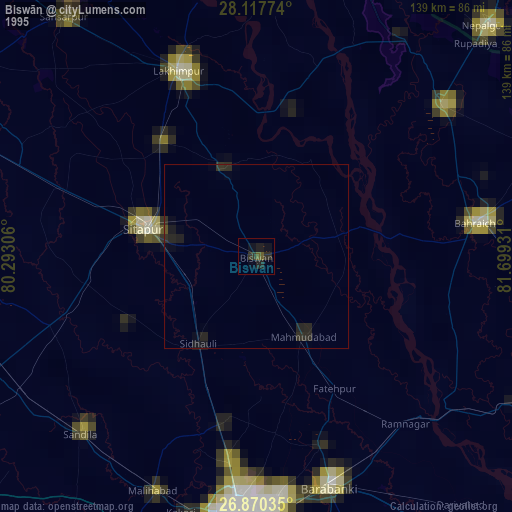
» NASA, Earths city lights 1995
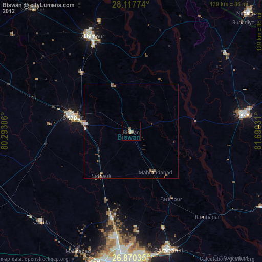
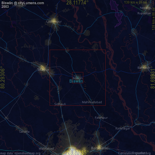
» NASA city lights 2003
» Earth at Night: Flat Maps 2012, 2016