Jalgaon night lights from space
Night Light of Jalgaon (Maharashtra) from space (India) Src. Average luminocity for 10x10km area is 1.4978% and for 50x50km: 0.9811%.
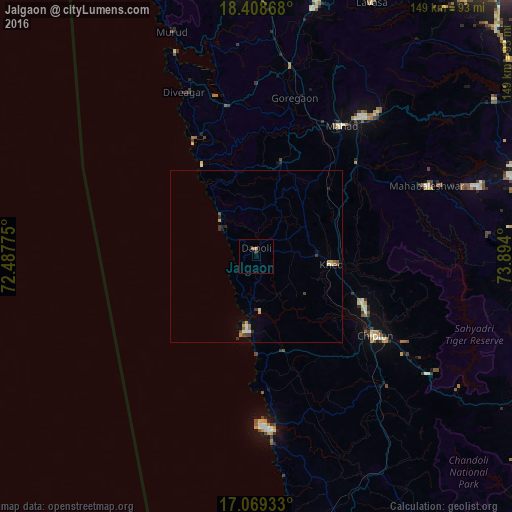
Analysis of Jalgaon night lights 2016
Square area 10x10 km:
 0%
0%90-99
0%80-89
0%70-79
0.87%60-69
0.87%50-59
0%40-49
0%30-39
0%20-29
0.87%10-19
0%0-9
97.4%Square area 50x50 km:
0.04%90-99
0.16%80-89
0.1%70-79
0.2%60-69
0.14%50-59
0.16%40-49
0.16%30-39
0.2%20-29
0.2%10-19
0.12%0-9
98.52%Clear (daylight) street map image can be seen on geolist.org.
Map coordinates:
18° 24' 31.2" North, 72° 29' 15.9" East
17° 44' 24.9" North, 73° 11' 27.1" East
17° 4' 9.6" North, 73° 53' 38.4" East
Some cities around Jalgaon sort by population:
• Chiplūn
40.8 km =25.4 mi,  124°
124°
• Mahād
45 km =28 mi,  32°
32°
• Srīvardhan
38.7 km =24 mi,  331°
331°
• Khed
22 km =13.7 mi,  96°
96°
• Mahābaleshwar
29.9 km =18.6 mi,  132°
132°
• Mhasla
44.5 km =27.7 mi,  349°
349°
• Dābhol
16.8 km =10.4 mi,  183°
183°
• Harnai
12.9 km =8 mi,  309°
309°
1269410 (p: 5,822)
Sources (retrieved 2019-11-25):
» Earth at Night: Flat Maps 2012, 2016