Bīsalpur night lights from space
Night Light of Bīsalpur (Uttar Pradesh) from space (India) Src. Average luminocity for 10x10km area is 7.0357% and for 50x50km: 2.2712%.
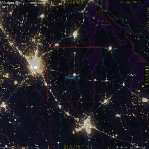
Analysis of Bīsalpur night lights 2016
Square area 10x10 km:
 1.98%
1.98%90-99
1.19%80-89
0%70-79
0%60-69
0.79%50-59
0.79%40-49
1.59%30-39
0.79%20-29
2.78%10-19
0.4%0-9
89.68%Square area 50x50 km:
0.16%90-99
0.15%80-89
0.1%70-79
0.15%60-69
0.3%50-59
0.35%40-49
0.51%30-39
0.66%20-29
1.02%10-19
0.72%0-9
95.89%Clear (daylight) street map image can be seen on geolist.org.
Map coordinates:
28° 54' 35.5" North, 79° 6' 5.8" East
28° 17' 33.1" North, 79° 48' 17" East
27° 40' 17.8" North, 80° 30' 28.3" East
Some cities around Bīsalpur sort by population:
• Bareilly
37.4 km =23.2 mi,  282°
282°
• Farīdpur
27.4 km =17 mi,  250°
250°
• Tilhar
37.2 km =23.1 mi,  190°
190°
• Nawābganj
32.3 km =20.1 mi,  328°
328°
• Mīrānpur Katra
32.2 km =20 mi,  204°
204°
• Bilsanda
15.4 km =9.6 mi,  110°
110°
• Khudāganj
18.5 km =11.5 mi,  208°
208°
• Barkhera Kalān
17.7 km =11 mi,  0°
0°
1275481 (p: 68,355)
Sources (retrieved 2019-11-25):
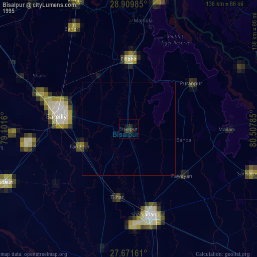
» NASA, Earths city lights 1995
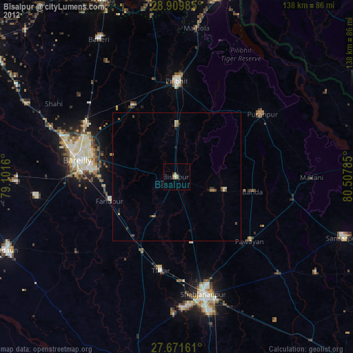
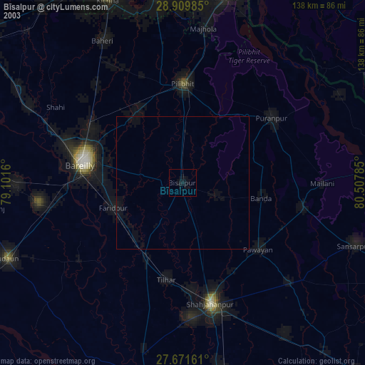
» NASA city lights 2003
» Earth at Night: Flat Maps 2012, 2016