Nawābganj night lights from space
Night Light of Nawābganj (Uttar Pradesh) from space (India) Src. Average luminocity for 10x10km area is 13.4943% and for 50x50km: 14.645%.
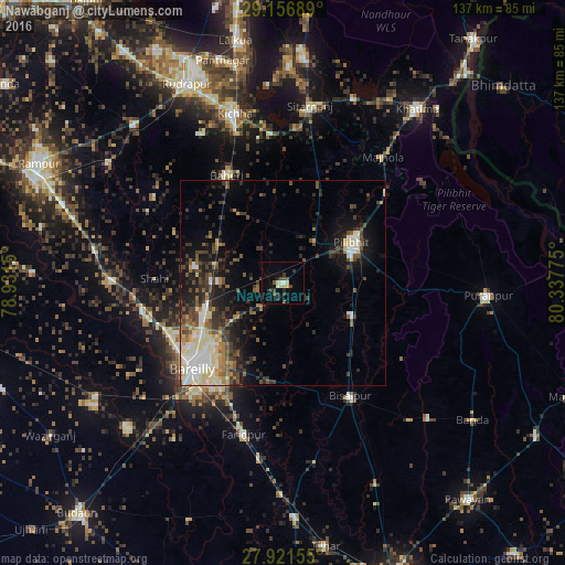
Analysis of Nawābganj night lights 2016
Square area 10x10 km:
 0.76%
0.76%90-99
2.65%80-89
2.46%70-79
0.19%60-69
0%50-59
1.52%40-49
3.6%30-39
4.92%20-29
2.08%10-19
1.14%0-9
80.68%Square area 50x50 km:
1.99%90-99
2.69%80-89
2.08%70-79
1.02%60-69
1.55%50-59
2.1%40-49
2.86%30-39
3.14%20-29
3.7%10-19
7.47%0-9
71.42%Clear (daylight) street map image can be seen on geolist.org.
Map coordinates:
29° 9' 24.8" North, 78° 55' 53.4" East
28° 32' 27.7" North, 79° 38' 4.6" East
27° 55' 17.6" North, 80° 20' 15.9" East
Some cities around Nawābganj sort by population:
• Bareilly
27.7 km =17.2 mi,  225°
225°
• Pīlibhīt
19.4 km =12.1 mi,  58°
58°
• Baheri
29.2 km =18.1 mi,  332°
332°
• Deoraniān
18.3 km =11.4 mi,  302°
302°
• Richha
20.3 km =12.6 mi, 327°
• Shergarh
28.8 km =17.9 mi, 295°
• Jahānābād
12.8 km =8 mi,  39°
39°
• Barkhera Kalān
19.5 km =12.1 mi,  120°
120°
1261639 (p: 34,134)
Sources (retrieved 2019-11-25):
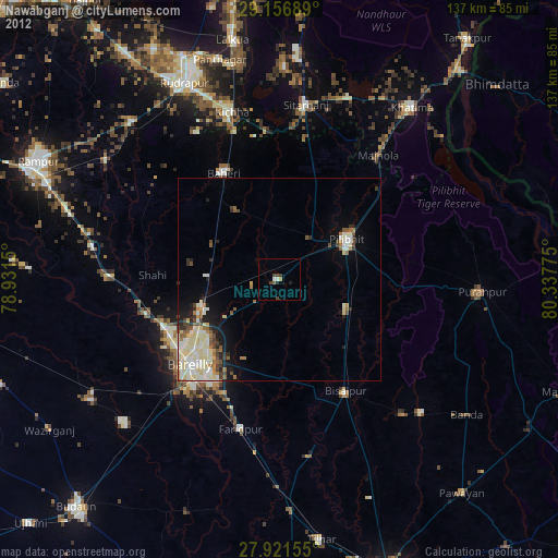
» Earth at Night: Flat Maps 2012, 2016