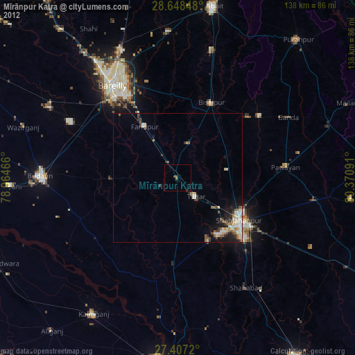
Mīrānpur Katra night lights from space
Night Light of Mīrānpur Katra (Uttar Pradesh) from space (India) Src. Average luminocity for 10x10km area is 11.0189% and for 50x50km: 6.3372%.
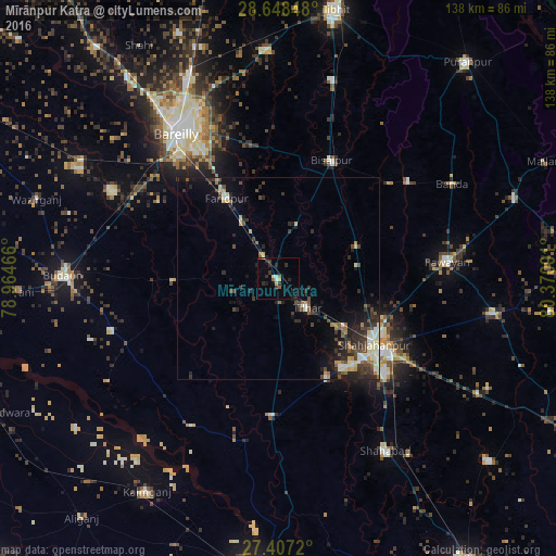
Analysis of Mīrānpur Katra night lights 2016
Square area 10x10 km:
 1.33%
1.33%90-99
0.95%80-89
1.14%70-79
0.76%60-69
0.19%50-59
2.46%40-49
0.19%30-39
3.22%20-29
4.92%10-19
3.79%0-9
81.06%Square area 50x50 km:
0.4%90-99
1%80-89
0.92%70-79
0.52%60-69
0.58%50-59
0.81%40-49
1.43%30-39
1.56%20-29
2.39%10-19
3.23%0-9
87.14%Clear (daylight) street map image can be seen on geolist.org.
Map coordinates:
28° 38' 54.5" North, 78° 57' 52.8" East
28° 1' 46.7" North, 79° 40' 4" East
27° 24' 25.9" North, 80° 22' 15.3" East
Some cities around Mīrānpur Katra sort by population:
• Shāhjānpur
28.9 km =18 mi,  124°
124°
• Farīdpur
23.6 km =14.7 mi,  328°
328°
• Bīsalpur
32.2 km =20 mi,  24°
24°
• Tilhar
10.2 km =6.3 mi,  137°
137°
• Jalālābād
33.8 km =21 mi,  182°
182°
• Dātāganj
25.5 km =15.8 mi,  268°
268°
• Kānt
27.2 km =16.9 mi,  153°
153°
• Khudāganj
13.7 km =8.5 mi, 19°
1263021 (p: 29,626)
Sources (retrieved 2019-11-25):
» Earth at Night: Flat Maps 2012, 2016