Dongargaon night lights from space
Night Light of Dongargaon (Chhattisgarh) from space (India) Src. Average luminocity for 10x10km area is 9.498% and for 50x50km: 9.1072%.
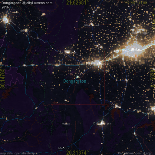
Analysis of Dongargaon night lights 2016
Square area 10x10 km:
 0%
0%90-99
0.79%80-89
0.79%70-79
0.79%60-69
1.59%50-59
2.38%40-49
1.39%30-39
5.36%20-29
1.98%10-19
1.79%0-9
83.13%Square area 50x50 km:
0.97%90-99
1.09%80-89
0.42%70-79
0.62%60-69
0.99%50-59
1.87%40-49
2.3%30-39
2.6%20-29
2.71%10-19
5.95%0-9
80.47%Clear (daylight) street map image can be seen on geolist.org.
Map coordinates:
21° 37' 36.5" North, 80° 8' 51.5" East
20° 58' 18.2" North, 80° 51' 2.8" East
20° 18' 49.5" North, 81° 33' 14" East
Some cities around Dongargaon sort by population:
• Bhilai
65.5 km =40.7 mi,  66°
66°
• Durg
50.4 km =31.3 mi,  61°
61°
• Rāj-Nāndgaon
23.1 km =14.4 mi,  53°
53°
• Balod
45.6 km =28.3 mi,  125°
125°
• Bhānpurī
15.8 km =9.8 mi,  32°
32°
• Khairāgarh
51.4 km =31.9 mi,  15°
15°
• Ambāgarh Chauki
24.3 km =15.1 mi,  206°
206°
• Chhuīkhadān
63.2 km =39.3 mi,  13°
13°
1272400 (p: 12,505)
Sources (retrieved 2019-11-25):
» Earth at Night: Flat Maps 2012, 2016