Auraiya night lights from space
Night Light of Auraiya (Uttar Pradesh) from space (India) Src. Average luminocity for 10x10km area is 37.536% and for 50x50km: 14.2085%.
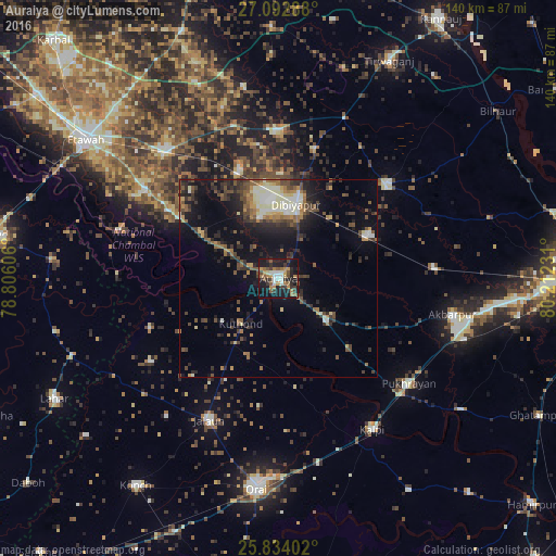
Analysis of Auraiya night lights 2016
Square area 10x10 km:
 3.41%
3.41%90-99
5.68%80-89
1.89%70-79
5.11%60-69
8.71%50-59
6.63%40-49
5.49%30-39
8.9%20-29
10.61%10-19
39.77%0-9
3.79%Square area 50x50 km:
1.05%90-99
2.25%80-89
1.18%70-79
1.4%60-69
2.06%50-59
2.44%40-49
3%30-39
3.16%20-29
4.24%10-19
9.46%0-9
69.75%Clear (daylight) street map image can be seen on geolist.org.
Map coordinates:
27° 5' 34.4" North, 78° 48' 21.8" East
26° 27' 54.6" North, 79° 30' 33" East
25° 50' 2.5" North, 80° 12' 44.3" East
Some cities around Auraiya sort by population:
• Jālaun
39.5 km =24.5 mi,  205°
205°
• Bidhūna
37.4 km =23.2 mi,  359°
359°
• Jhīnjhak
24.8 km =15.4 mi,  64°
64°
• Phaphūnd
15.5 km =9.6 mi,  343°
343°
• Rura
39.1 km =24.3 mi,  85°
85°
• Sikandra
16.2 km =10.1 mi,  132°
132°
• Rāmpura
35 km =21.7 mi,  248°
248°
• Mādhogarh
38.5 km =23.9 mi,  236°
236°
1278152 (p: 70,508)
Sources (retrieved 2019-11-25):
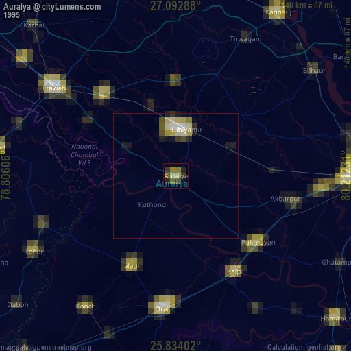
» NASA, Earths city lights 1995
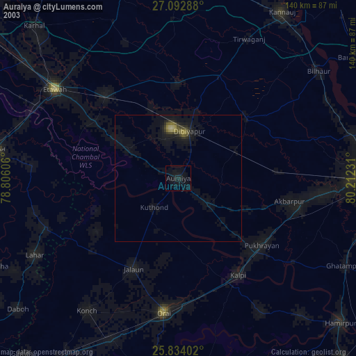
» NASA city lights 2003
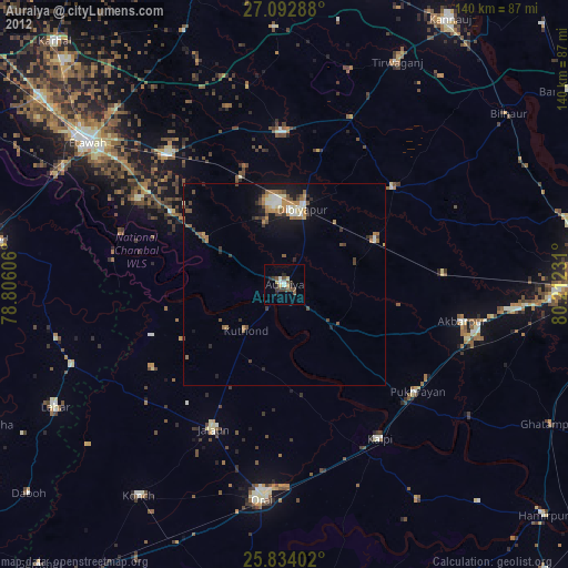
» Earth at Night: Flat Maps 2012, 2016