Jālaun night lights from space
Night Light of Jālaun (Uttar Pradesh) from space (India) Src. Average luminocity for 10x10km area is 23.4048% and for 50x50km: 8.821%.
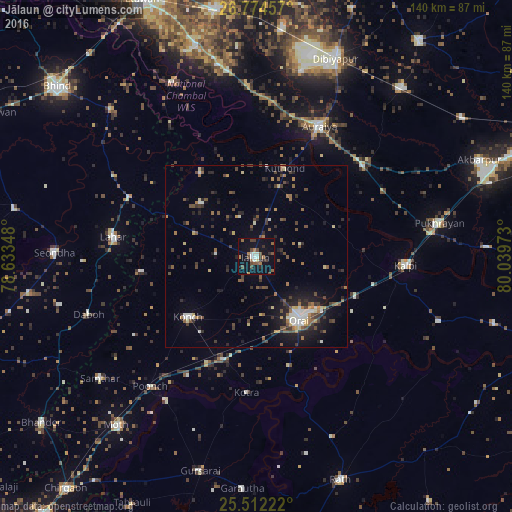
Analysis of Jālaun night lights 2016
Square area 10x10 km:
 2.58%
2.58%90-99
2.98%80-89
0.79%70-79
1.79%60-69
4.17%50-59
4.56%40-49
6.94%30-39
3.77%20-29
1.79%10-19
24.4%0-9
46.23%Square area 50x50 km:
0.79%90-99
0.97%80-89
0.74%70-79
0.6%60-69
1.25%50-59
1.55%40-49
2.03%30-39
1.68%20-29
2.3%10-19
5.64%0-9
82.45%Clear (daylight) street map image can be seen on geolist.org.
Map coordinates:
26° 46' 28.5" North, 78° 38' 0.5" East
26° 8' 42.4" North, 79° 20' 11.8" East
25° 30' 44" North, 80° 2' 23" East
Some cities around Jālaun sort by population:
• Orai
20.8 km =12.9 mi,  145°
145°
• Konch
25 km =15.5 mi,  227°
227°
• Mihona
38.7 km =24 mi,  293°
293°
• Sikandra
38.3 km =23.8 mi,  49°
49°
• Rāmpura
27.5 km =17.1 mi,  325°
325°
• Mādhogarh
20.9 km =13 mi,  313°
313°
• Kotra
37.6 km =23.4 mi,  184°
184°
• Nadīgaon
31.6 km =19.6 mi,  262°
262°
1269422 (p: 55,299)
Sources (retrieved 2019-11-25):
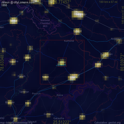
» NASA, Earths city lights 1995
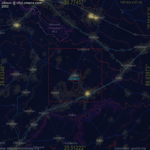
» NASA city lights 2003
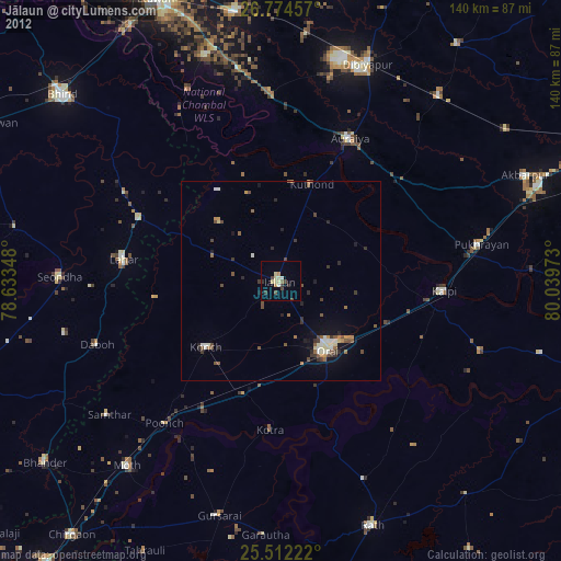
» Earth at Night: Flat Maps 2012, 2016