Ausa night lights from space
Night Light of Ausa (Maharashtra) from space (India) Src. Average luminocity for 10x10km area is 12.2684% and for 50x50km: 9.8502%.
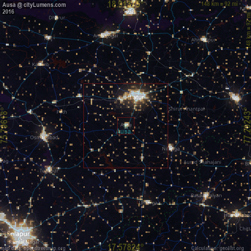
Analysis of Ausa night lights 2016
Square area 10x10 km:
 1.3%
1.3%90-99
0.65%80-89
0.65%70-79
3.46%60-69
1.73%50-59
2.16%40-49
2.16%30-39
1.3%20-29
0.43%10-19
1.52%0-9
84.63%Square area 50x50 km:
0.81%90-99
1.13%80-89
0.89%70-79
1.34%60-69
1.52%50-59
1.62%40-49
1.78%30-39
2.09%20-29
2.97%10-19
5.1%0-9
80.74%Clear (daylight) street map image can be seen on geolist.org.
Map coordinates:
18° 54' 49.5" North, 75° 47' 46.2" East
18° 14' 50.2" North, 76° 29' 57.5" East
17° 34' 41.7" North, 77° 12' 8.7" East
Some cities around Ausa sort by population:
• Latur
18.2 km =11.3 mi,  23°
23°
• Osmanabad
49.2 km =30.6 mi,  261°
261°
• Ambājogāi
55.3 km =34.4 mi,  347°
347°
• Tuljāpur
52.6 km =32.7 mi,  239°
239°
• Nilanga
30.5 km =19 mi,  118°
118°
• Umarga
47.3 km =29.4 mi,  163°
163°
• Moram
51.1 km =31.8 mi,  183°
183°
• Naldurg
53.1 km =33 mi,  205°
205°
1278139 (p: 34,161)
Sources (retrieved 2019-11-25):
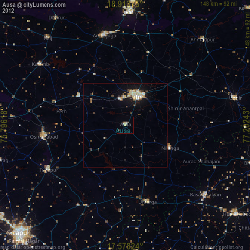
» Earth at Night: Flat Maps 2012, 2016