Even Yehuda night lights from space
Night Light of Even Yehuda (Central District) from space (Israel) Src. Average luminocity for 10x10km area is 92.3571% and for 50x50km: 50.9929%.
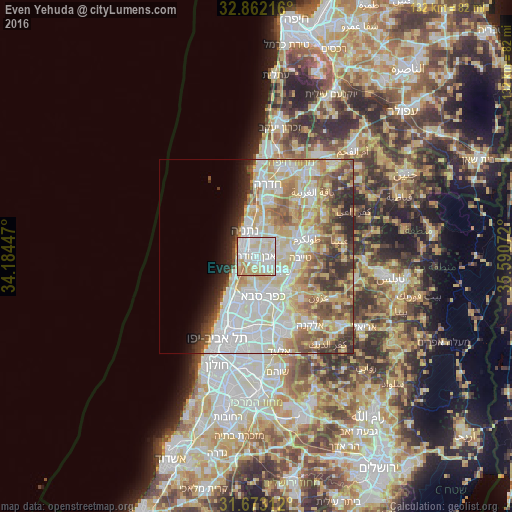
Analysis of Even Yehuda night lights 2016
Square area 10x10 km:
 32.23%
90-99
34.07%80-89
22.89%70-79
5.86%60-69
4.21%50-59
0.37%40-49
0.37%30-39
0%20-29
0%10-19
0%0-9
0%Square area 50x50 km:
13.38%90-99
12.95%80-89
10.12%70-79
6.86%60-69
5.05%50-59
5.27%40-49
4.69%30-39
4.02%20-29
4.78%10-19
3.23%0-9
29.64%Clear (daylight) street map image can be seen on geolist.org.
Map coordinates:
32° 51' 43.8" North, 34° 11' 4.1" East
32° 16' 10.5" North, 34° 53' 15.3" East
31° 40' 23.2" North, 35° 35' 26.6" East
Some cities around Even Yehuda sort by population:
• Netanya
7.5 km =4.7 mi,  339°
339°
• Kfar Saba
10.7 km =6.6 mi,  170°
170°
• Ra'anana
9.6 km =6 mi,  187°
187°
• Kefar Yona
6.9 km =4.3 mi,  40°
40°
• Tirah
7.1 km =4.4 mi,  123°
123°
• Qalansuwa
9 km =5.6 mi,  79°
79°
• Tel Mond
3.6 km =2.2 mi,  127°
127°
• Pardesiyya
4.5 km =2.8 mi,  26°
26°
295122 (p: 15,221)
Sources (retrieved 2019-11-25):
» Earth at Night: Flat Maps 2012, 2016