Ra'anana night lights from space
Night Light of Ra'anana (Central District) from space (Israel) Src. Average luminocity for 10x10km area is 94.2465% and for 50x50km: 54.267%.
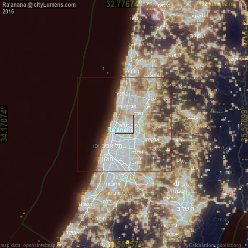
Analysis of Ra'anana night lights 2016
Square area 10x10 km:
 38.64%
90-99
37.76%80-89
14.16%70-79
6.99%60-69
2.45%50-59
0%40-49
0%30-39
0%20-29
0%10-19
0%0-9
0%Square area 50x50 km:
15.94%90-99
14.37%80-89
9.68%70-79
6.21%60-69
4.26%50-59
5.96%40-49
5.32%30-39
4.16%20-29
4.49%10-19
3.26%0-9
26.35%Clear (daylight) street map image can be seen on geolist.org.
Map coordinates:
32° 46' 36.3" North, 34° 10' 14.7" East
32° 11' 1" North, 34° 52' 25.9" East
31° 35' 11.7" North, 35° 34' 37.2" East
Some cities around Ra'anana sort by population:
• Herzliya
5 km =3.1 mi,  247°
247°
• Kfar Saba
3.3 km =2.1 mi,  107°
107°
• Hod HaSharon
3.3 km =2.1 mi,  145°
145°
• Ramat HaSharon
5.3 km =3.3 mi,  217°
217°
• Tirah
9.1 km =5.7 mi,  51°
51°
• Herzliya Pituah
6.8 km =4.2 mi,  261°
261°
• Tel Mond
8.4 km =5.2 mi,  29°
29°
• Jaljūlya
8.2 km =5.1 mi, 113°
293807 (p: 80,000)
Sources (retrieved 2019-11-25):
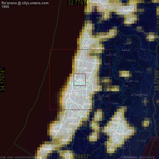
» NASA, Earths city lights 1995
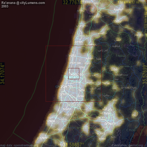
» NASA city lights 2003
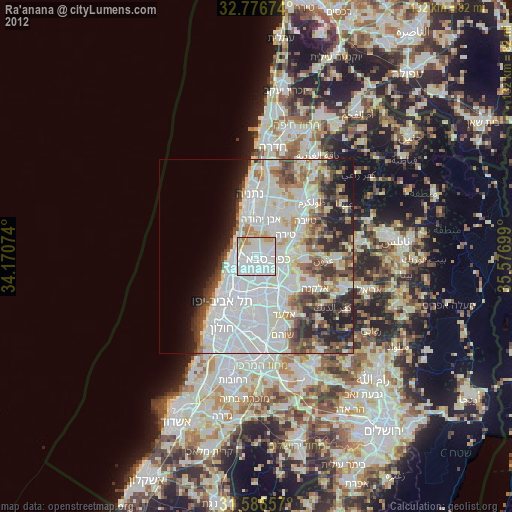
» Earth at Night: Flat Maps 2012, 2016