Ramat HaSharon night lights from space
Night Light of Ramat HaSharon (Tel Aviv) from space (Israel) Src. Average luminocity for 10x10km area is 97.7413% and for 50x50km: 53.6436%.
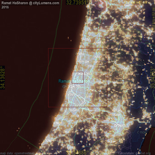
Analysis of Ramat HaSharon night lights 2016
Square area 10x10 km:
 57.69%
90-99
38.46%80-89
1.75%70-79
0%60-69
0.7%50-59
0.35%40-49
1.05%30-39
0%20-29
0%10-19
0%0-9
0%Square area 50x50 km:
17.32%90-99
14.95%80-89
9.61%70-79
5.49%60-69
3.81%50-59
5.07%40-49
4.29%30-39
2.95%20-29
3.15%10-19
3.23%0-9
30.13%Clear (daylight) street map image can be seen on geolist.org.
Map coordinates:
32° 44' 22.2" North, 34° 8' 10.6" East
32° 8' 46.1" North, 34° 50' 21.8" East
31° 32' 55.9" North, 35° 32' 33.1" East
Some cities around Ramat HaSharon sort by population:
• Petaẖ Tiqwa
8 km =5 mi,  145°
145°
• Bnei Brak
7.3 km =4.5 mi,  184°
184°
• Herzliya
2.6 km =1.6 mi,  329°
329°
• Kfar Saba
7.1 km =4.4 mi,  63°
63°
• Ra'anana
5.3 km =3.3 mi,  37°
37°
• Hod HaSharon
5.3 km =3.3 mi,  73°
73°
• Giv'at Shmuel
7.6 km =4.7 mi,  173°
173°
• Herzliya Pituah
4.6 km =2.9 mi,  312°
312°
293783 (p: 36,137)
Sources (retrieved 2019-11-25):
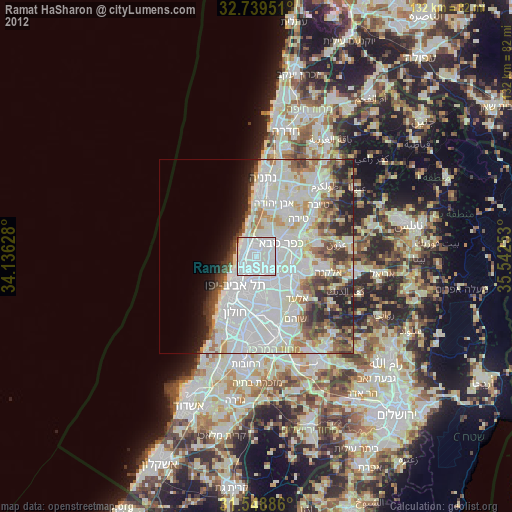
» Earth at Night: Flat Maps 2012, 2016