Herzliya Pituah night lights from space
Night Light of Herzliya Pituah (Tel Aviv) from space (Israel) Src. Average luminocity for 10x10km area is 66.1206% and for 50x50km: 47.7383%.
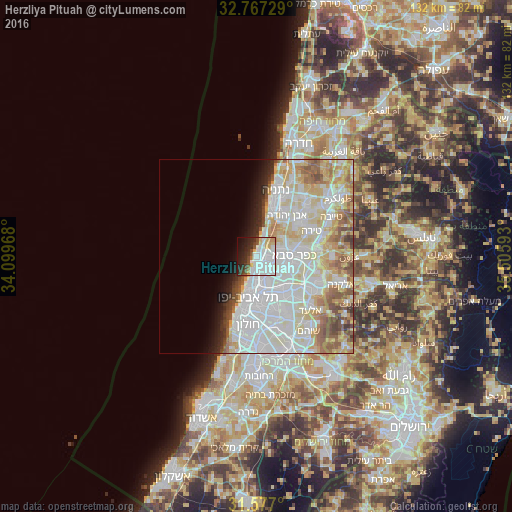
Analysis of Herzliya Pituah night lights 2016
Square area 10x10 km:
 27.62%
90-99
18.88%80-89
6.29%70-79
3.15%60-69
2.45%50-59
2.62%40-49
6.29%30-39
5.42%20-29
12.41%10-19
11.01%0-9
3.85%Square area 50x50 km:
15.94%90-99
13.93%80-89
8.3%70-79
4.69%60-69
3.54%50-59
4.32%40-49
3.03%30-39
1.53%20-29
2.39%10-19
3.23%0-9
39.1%Clear (daylight) street map image can be seen on geolist.org.
Map coordinates:
32° 46' 2.2" North, 34° 5' 58.8" East
32° 10' 26.7" North, 34° 48' 10.1" East
31° 34' 37.2" North, 35° 30' 21.3" East
Some cities around Herzliya Pituah sort by population:
• Tel Aviv
10.6 km =6.6 mi,  191°
191°
• Bnei Brak
10.8 km =6.7 mi,  164°
164°
• Ramat Gan
10.2 km =6.3 mi,  175°
175°
• Kfar Saba
9.8 km =6.1 mi,  89°
89°
• Ra'anana
6.8 km =4.2 mi,  81°
81°
• Givatayim
11.4 km =7.1 mi, 175°
• Hod HaSharon
8.7 km =5.4 mi,  100°
100°
• Ramat HaSharon
4.6 km =2.9 mi,  132°
132°
8478264 (p: 10,000)
Sources (retrieved 2019-11-25):
» Earth at Night: Flat Maps 2012, 2016