Herzliya night lights from space
Night Light of Herzliya (Tel Aviv) from space (Israel) Src. Average luminocity for 10x10km area is 84.3444% and for 50x50km: 50.4606%.
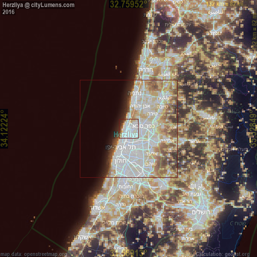
Analysis of Herzliya night lights 2016
Square area 10x10 km:
 38.99%
90-99
29.55%80-89
8.04%70-79
2.97%60-69
1.22%50-59
2.97%40-49
5.42%30-39
3.15%20-29
5.94%10-19
1.75%0-9
0%Square area 50x50 km:
16.33%90-99
14.16%80-89
9.11%70-79
5.09%60-69
3.74%50-59
4.93%40-49
3.76%30-39
2.3%20-29
2.71%10-19
3.23%0-9
34.64%Clear (daylight) street map image can be seen on geolist.org.
Map coordinates:
32° 45' 34.3" North, 34° 7' 20.1" East
32° 9' 58.6" North, 34° 49' 31.3" East
31° 34' 8.9" North, 35° 31' 42.6" East
Some cities around Herzliya sort by population:
• Tel Aviv
10.4 km =6.5 mi,  203°
203°
• Bnei Brak
9.5 km =5.9 mi,  175°
175°
• Ramat Gan
9.4 km =5.8 mi,  188°
188°
• Kfar Saba
7.7 km =4.8 mi,  82°
82°
• Ra'anana
5 km =3.1 mi,  67°
67°
• Hod HaSharon
6.4 km =4 mi,  96°
96°
• Ramat HaSharon
2.6 km =1.6 mi,  149°
149°
• Giv'at Shmuel
10 km =6.2 mi,  167°
167°
294778 (p: 83,600)
Sources (retrieved 2019-11-25):
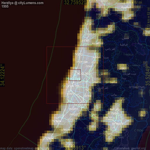
» NASA, Earths city lights 1995
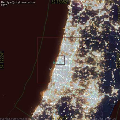
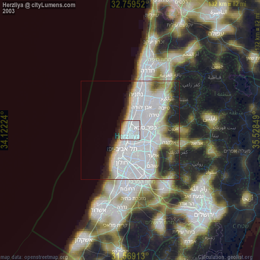
» NASA city lights 2003
» Earth at Night: Flat Maps 2012, 2016