Ofaqim night lights from space
Night Light of Ofaqim (Southern District) from space (Israel) Src. Average luminocity for 10x10km area is 39.9441% and for 50x50km: 30.4123%.
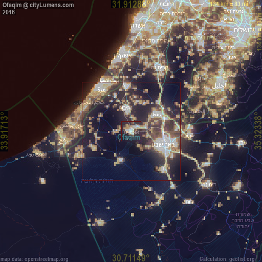
Analysis of Ofaqim night lights 2016
Square area 10x10 km:
 5.07%
5.07%90-99
7.52%80-89
4.37%70-79
7.34%60-69
2.27%50-59
2.62%40-49
6.12%30-39
7.17%20-29
23.08%10-19
30.77%0-9
3.67%Square area 50x50 km:
3.98%90-99
3.97%80-89
4.31%70-79
5.92%60-69
2.29%50-59
2.8%40-49
6.33%30-39
6.44%20-29
12%10-19
18.01%0-9
33.94%Clear (daylight) street map image can be seen on geolist.org.
Map coordinates:
31° 54' 46.4" North, 33° 55' 1.7" East
31° 18' 50.8" North, 34° 37' 12.9" East
30° 42' 41.4" North, 35° 19' 24.2" East
Some cities around Ofaqim sort by population:
• Gaza, PS
25.4 km =15.8 mi,  325°
325°
• Beersheba
17.7 km =11 mi,  113°
113°
• Al Burayj, PS
24.9 km =15.5 mi,  304°
304°
• Netivot
12.5 km =7.8 mi,  346°
346°
• Sederot
23.6 km =14.7 mi, 354°
• Rahat
15.8 km =9.8 mi,  55°
55°
• Khuzā‘ah, PS
24.6 km =15.3 mi,  268°
268°
• Lehavim
19.7 km =12.2 mi,  70°
70°
293992 (p: 24,311)
Sources (retrieved 2019-11-25):
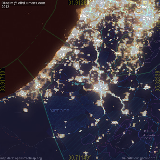
» Earth at Night: Flat Maps 2012, 2016