Gaza night lights from space
Night Light of Gaza (Gaza Strip) from space (Palestinian Territory) Src. Average luminocity for 10x10km area is 67.6346% and for 50x50km: 29.1472%.
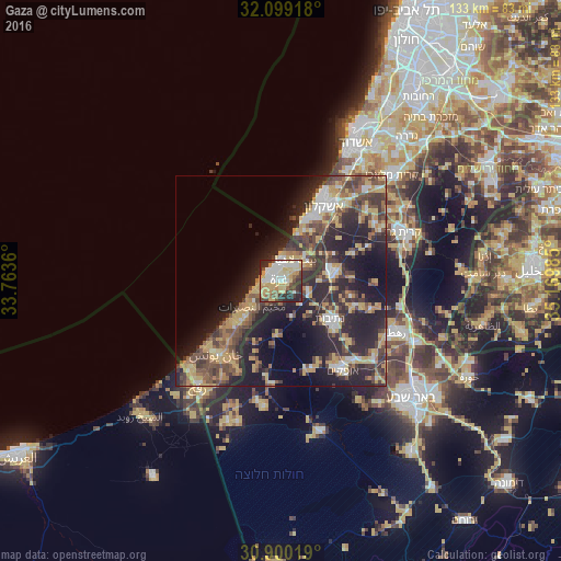
Analysis of Gaza night lights 2016
Square area 10x10 km:
 10.84%
90-99
16.08%80-89
19.58%70-79
11.71%60-69
3.5%50-59
5.94%40-49
9.62%30-39
8.04%20-29
14.16%10-19
0.52%0-9
0%Square area 50x50 km:
2.63%90-99
3.21%80-89
4.83%70-79
5.69%60-69
3.25%50-59
3.78%40-49
6.86%30-39
6.25%20-29
12.89%10-19
14.74%0-9
35.88%Clear (daylight) street map image can be seen on geolist.org.
Map coordinates:
32° 5' 57" North, 33° 45' 49" East
31° 30' 5.8" North, 34° 28' 0.2" East
30° 54' 0.7" North, 35° 10' 11.5" East
Some cities around Gaza sort by population:
• Jabālyā
3.3 km =2.1 mi,  29°
29°
• Bayt Lāhyā
5.7 km =3.5 mi, 28°
• Bayt Ḩānūn
7.5 km =4.7 mi,  60°
60°
• An Nuşayrāt
9.2 km =5.7 mi,  230°
230°
• Al Burayj
9.2 km =5.7 mi,  221°
221°
• Sederot, IL
12.6 km =7.8 mi,  78°
78°
• Az Zuwāydah
10.7 km =6.6 mi, 229°
• Al Mughrāqah
6.5 km =4 mi, 232°
281133 (p: 410,000)
Sources (retrieved 2019-11-25):
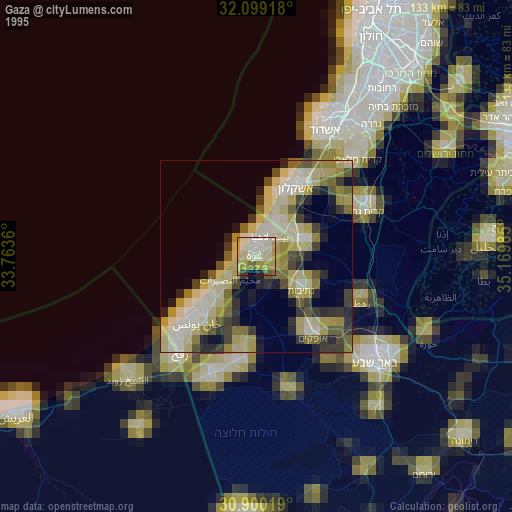
» NASA, Earths city lights 1995
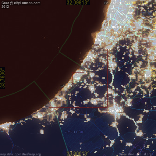
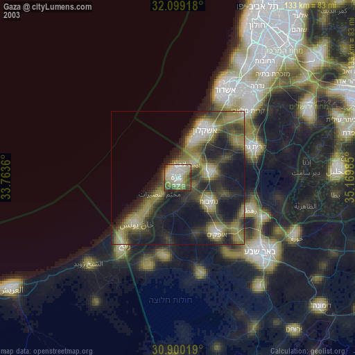
» NASA city lights 2003
» Earth at Night: Flat Maps 2012, 2016