Sederot night lights from space
Night Light of Sederot (Southern District) from space (Israel) Src. Average luminocity for 10x10km area is 44.8689% and for 50x50km: 36.6811%.
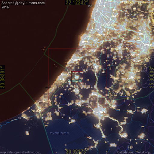
Analysis of Sederot night lights 2016
Square area 10x10 km:
 4.37%
4.37%90-99
5.42%80-89
6.64%70-79
7.69%60-69
2.97%50-59
2.27%40-49
12.41%30-39
16.78%20-29
32.34%10-19
9.09%0-9
0%Square area 50x50 km:
3.78%90-99
4.55%80-89
6.37%70-79
6.9%60-69
3.28%50-59
4.57%40-49
8.8%30-39
8.15%20-29
15.12%10-19
17.17%0-9
21.3%Clear (daylight) street map image can be seen on geolist.org.
Map coordinates:
32° 7' 20.7" North, 33° 53' 37.7" East
31° 31' 30" North, 34° 35' 48.9" East
30° 55' 25.4" North, 35° 18' 0.2" East
Some cities around Sederot sort by population:
• Gaza, PS
12.6 km =7.8 mi,  258°
258°
• Jabālyā, PS
10.8 km =6.7 mi,  271°
271°
• Ashkelon
16.2 km =10.1 mi,  351°
351°
• Bayt Lāhyā, PS
9.9 km =6.2 mi,  283°
283°
• Kiryat Gat
18.5 km =11.5 mi,  59°
59°
• Bayt Ḩānūn, PS
5.9 km =3.7 mi, 281°
• Netivot
11.4 km =7.1 mi,  183°
183°
• Al Mughrāqah, PS
18.7 km =11.6 mi,  249°
249°
293619 (p: 20,228)
Sources (retrieved 2019-11-25):
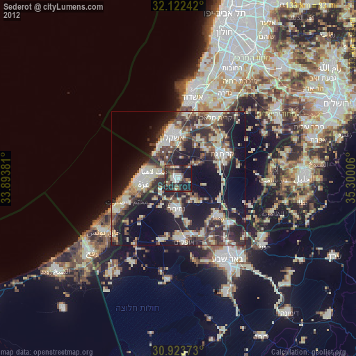
» Earth at Night: Flat Maps 2012, 2016