Netivot night lights from space
Night Light of Netivot (Southern District) from space (Israel) Src. Average luminocity for 10x10km area is 48.0629% and for 50x50km: 36.1337%.
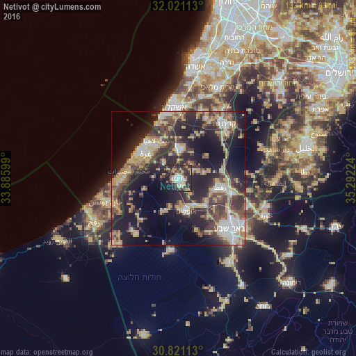
Analysis of Netivot night lights 2016
Square area 10x10 km:
 6.82%
6.82%90-99
8.39%80-89
6.29%70-79
10.14%60-69
2.8%50-59
2.8%40-49
8.39%30-39
11.54%20-29
30.94%10-19
11.36%0-9
0.52%Square area 50x50 km:
4.37%90-99
4.6%80-89
5.6%70-79
6.8%60-69
3.14%50-59
3.94%40-49
8%30-39
7.58%20-29
14.81%10-19
19.69%0-9
21.47%Clear (daylight) street map image can be seen on geolist.org.
Map coordinates:
32° 1' 16.1" North, 33° 53' 9.6" East
31° 25' 23" North, 34° 35' 20.8" East
30° 49' 16.1" North, 35° 17' 32.1" East
Some cities around Netivot sort by population:
• Gaza, PS
14.5 km =9 mi,  306°
306°
• Jabālyā, PS
15.3 km =9.5 mi,  319°
319°
• Bayt Lāhyā, PS
16.4 km =10.2 mi,  326°
326°
• Bayt Ḩānūn, PS
13.5 km =8.4 mi,  337°
337°
• Ofaqim
12.5 km =7.8 mi,  166°
166°
• Sederot
11.4 km =7.1 mi,  3°
3°
• Rahat
16.2 km =10.1 mi,  100°
100°
• Al Mughrāqah, PS
17.5 km =10.9 mi,  285°
285°
294068 (p: 24,564)
Sources (retrieved 2019-11-25):
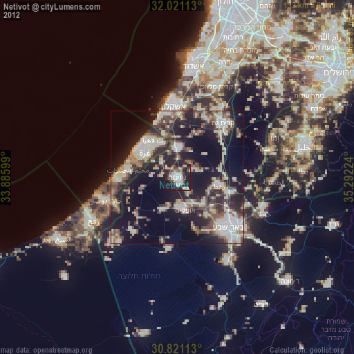
» Earth at Night: Flat Maps 2012, 2016