Petaẖ Tiqwa night lights from space
Night Light of Petaẖ Tiqwa (Central District) from space (Israel) Src. Average luminocity for 10x10km area is 97.7098% and for 50x50km: 62.0335%.
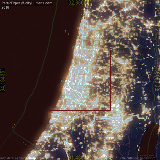
Analysis of Petaẖ Tiqwa night lights 2016
Square area 10x10 km:
 56.12%
90-99
36.71%80-89
7.17%70-79
0%60-69
0%50-59
0%40-49
0%30-39
0%20-29
0%10-19
0%0-9
0%Square area 50x50 km:
18.57%90-99
16.49%80-89
11.83%70-79
7.14%60-69
4.4%50-59
6.38%40-49
5.69%30-39
4.7%20-29
4.16%10-19
3.28%0-9
17.35%Clear (daylight) street map image can be seen on geolist.org.
Map coordinates:
32° 40' 51" North, 34° 11' 3.7" East
32° 5' 13.5" North, 34° 53' 14.9" East
31° 29' 21.9" North, 35° 35' 26.2" East
Some cities around Petaẖ Tiqwa sort by population:
• Bnei Brak
5.1 km =3.2 mi,  262°
262°
• Givatayim
7.3 km =4.5 mi, 256°
• Rosh Ha‘Ayin
6.6 km =4.1 mi,  81°
81°
• Or Yehuda
7 km =4.3 mi,  203°
203°
• Yehud-Monosson
6.6 km =4.1 mi,  186°
186°
• Yehud
6 km =3.7 mi,  176°
176°
• Giv'at Shmuel
3.8 km =2.4 mi,  254°
254°
• Ganei Tikva
3.3 km =2.1 mi, 203°
293918 (p: 200,000)
Sources (retrieved 2019-11-25):
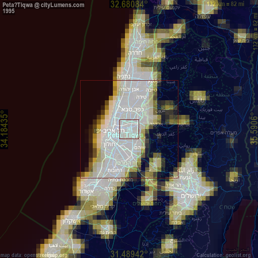
» NASA, Earths city lights 1995
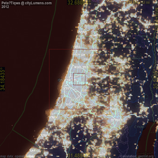
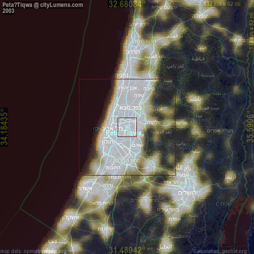
» NASA city lights 2003
» Earth at Night: Flat Maps 2012, 2016