Wonopringgo night lights from space
Night Light of Wonopringgo (Central Java) from space (Indonesia) Src. Average luminocity for 10x10km area is 23.3485% and for 50x50km: 7.5284%.
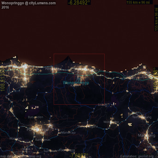
Analysis of Wonopringgo night lights 2016
Square area 10x10 km:
 0%
0%90-99
0%80-89
0.43%70-79
4.76%60-69
4.76%50-59
8.44%40-49
5.41%30-39
7.14%20-29
8.87%10-19
19.7%0-9
40.48%Square area 50x50 km:
0.19%90-99
0.58%80-89
0.78%70-79
0.8%60-69
1.27%50-59
1.81%40-49
2.09%30-39
2.04%20-29
2.23%10-19
5.82%0-9
82.39%Clear (daylight) street map image can be seen on geolist.org.
Map coordinates:
6° 17' 5.7" South, 108° 54' 48.8" East
6° 58' 60" South, 109° 37' 0" East
7° 40' 50.5" South, 110° 19' 11.3" East
Some cities around Wonopringgo sort by population:
• Pekalongan
12.4 km =7.7 mi,  31°
31°
• Pemalang
27.8 km =17.3 mi,  291°
291°
• Kedungwuni
3.7 km =2.3 mi,  67°
67°
• Weleri
49.7 km =30.9 mi,  88°
88°
• Comal
12.5 km =7.8 mi,  313°
313°
• Wiradesa
10.1 km =6.3 mi,  1°
1°
• Buaran
10.4 km =6.5 mi,  224°
224°
• Randudongkal
34.7 km =21.6 mi,  248°
248°
1621416 (p: 38,429)
Sources (retrieved 2019-11-25):
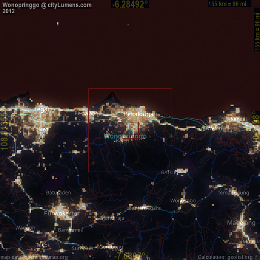
» Earth at Night: Flat Maps 2012, 2016