Randudongkal night lights from space
Night Light of Randudongkal (Central Java) from space (Indonesia) Src. Average luminocity for 10x10km area is 1.0433% and for 50x50km: 7.5004%.
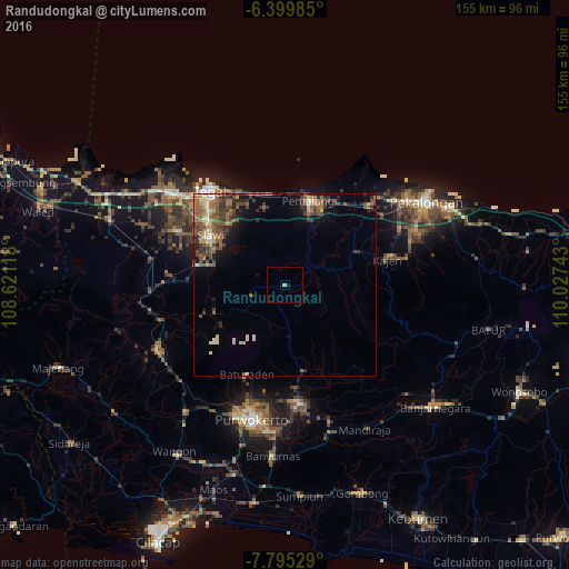
Analysis of Randudongkal night lights 2016
Square area 10x10 km:
 0%
0%90-99
0%80-89
0.65%70-79
0.22%60-69
0%50-59
0%40-49
0%30-39
0%20-29
0.65%10-19
0.22%0-9
98.27%Square area 50x50 km:
0.28%90-99
0.68%80-89
1.08%70-79
0.79%60-69
1.57%50-59
2.1%40-49
1.95%30-39
1.9%20-29
1.44%10-19
2.87%0-9
85.33%Clear (daylight) street map image can be seen on geolist.org.
Map coordinates:
6° 23' 59.5" South, 108° 37' 16.2" East
7° 5' 53.2" South, 109° 19' 27.5" East
7° 47' 43" South, 110° 1' 38.7" East
Some cities around Randudongkal sort by population:
• Pemalang
23.8 km =14.8 mi,  15°
15°
• Adiwerna
27.7 km =17.2 mi,  310°
310°
• Tarub
25.3 km =15.7 mi,  316°
316°
• Slawi
24 km =14.9 mi,  302°
302°
• Baturaden
25.4 km =15.8 mi,  207°
207°
• Buaran
25.5 km =15.8 mi,  77°
77°
• Lebaksiu
20.6 km =12.8 mi,  285°
285°
• Balapulang
25.3 km =15.7 mi,  282°
282°
1630088 (p: 28,532)
Sources (retrieved 2019-11-25):
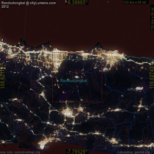
» Earth at Night: Flat Maps 2012, 2016