Weleri night lights from space
Night Light of Weleri (Central Java) from space (Indonesia) Src. Average luminocity for 10x10km area is 14.1126% and for 50x50km: 5.2498%.
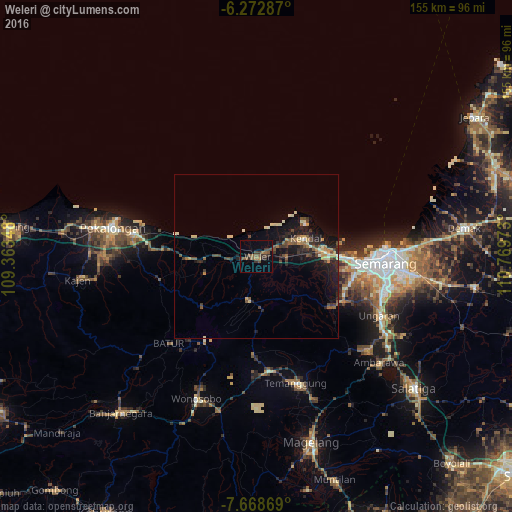
Analysis of Weleri night lights 2016
Square area 10x10 km:
 0%
0%90-99
0%80-89
0%70-79
0.22%60-69
3.46%50-59
7.14%40-49
3.46%30-39
6.28%20-29
2.81%10-19
1.95%0-9
74.68%Square area 50x50 km:
0.07%90-99
0.67%80-89
0.48%70-79
0.68%60-69
0.56%50-59
1.2%40-49
0.99%30-39
1%20-29
1.59%10-19
5.24%0-9
87.51%Clear (daylight) street map image can be seen on geolist.org.
Map coordinates:
6° 16' 22.3" South, 109° 21' 48.5" East
6° 58' 16.7" South, 110° 3' 59.8" East
7° 40' 7.3" South, 110° 46' 11" East
Some cities around Weleri sort by population:
• Semarang
39.2 km =24.4 mi,  93°
93°
• Pekalongan
44.2 km =27.5 mi,  282°
282°
• Ungaran
41.8 km =26 mi,  116°
116°
• Kedungwuni
46.2 km =28.7 mi,  270°
270°
• Wonosobo
46.7 km =29 mi,  202°
202°
• Ambarawa
48.9 km =30.4 mi,  131°
131°
• Wonopringgo
49.7 km =30.9 mi, 268°
• Mranggen
50 km =31.1 mi,  97°
97°
1621655 (p: 58,448)
Sources (retrieved 2019-11-25):
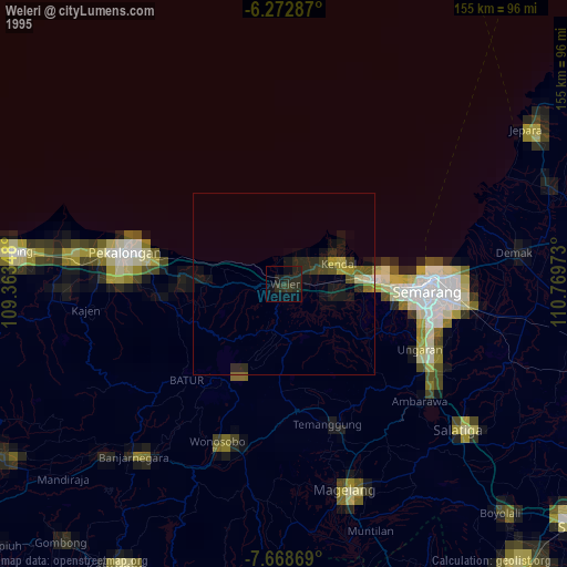
» NASA, Earths city lights 1995
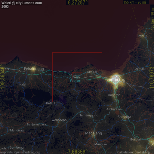
» NASA city lights 2003
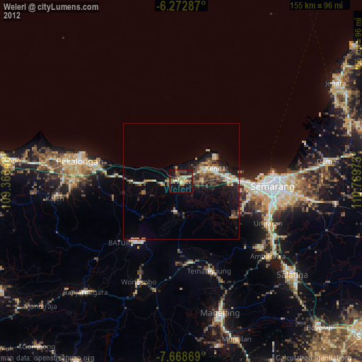
» Earth at Night: Flat Maps 2012, 2016