Comal night lights from space
Night Light of Comal (Central Java) from space (Indonesia) Src. Average luminocity for 10x10km area is 13.9307% and for 50x50km: 7.7347%.
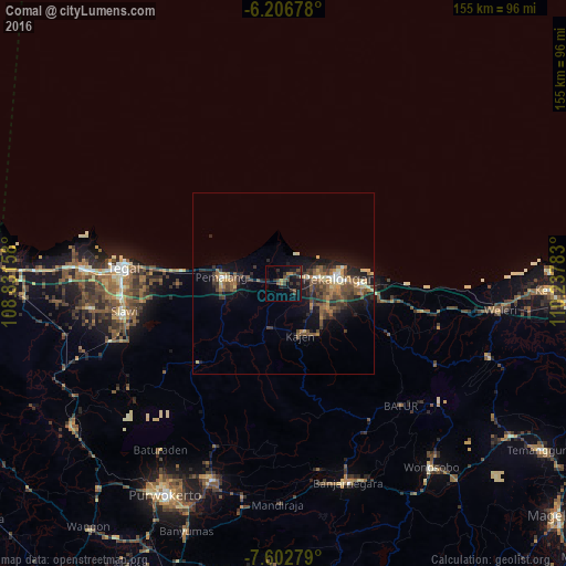
Analysis of Comal night lights 2016
Square area 10x10 km:
 0%
0%90-99
0%80-89
0.43%70-79
0.87%60-69
2.6%50-59
1.52%40-49
6.28%30-39
4.98%20-29
7.79%10-19
13.85%0-9
61.69%Square area 50x50 km:
0.22%90-99
0.61%80-89
0.83%70-79
0.92%60-69
1.29%50-59
1.72%40-49
2.1%30-39
2.2%20-29
2.36%10-19
5.63%0-9
82.12%Clear (daylight) street map image can be seen on geolist.org.
Map coordinates:
6° 12' 24.4" South, 108° 49' 53.7" East
6° 54' 19.1" South, 109° 32' 4.9" East
7° 36' 10" South, 110° 14' 16.2" East
Some cities around Comal sort by population:
• Pekalongan
15.6 km =9.7 mi,  83°
83°
• Pemalang
16.9 km =10.5 mi,  275°
275°
• Kedungwuni
14.4 km =8.9 mi,  120°
120°
• Tarub
40.7 km =25.3 mi,  265°
265°
• Wiradesa
9.4 km =5.8 mi, 81°
• Buaran
16.2 km =10.1 mi,  174°
174°
• Wonopringgo
12.5 km =7.8 mi,  133°
133°
• Randudongkal
31.6 km =19.6 mi,  227°
227°
1645976 (p: 51,092)
Sources (retrieved 2019-11-25):
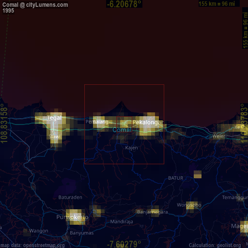
» NASA, Earths city lights 1995
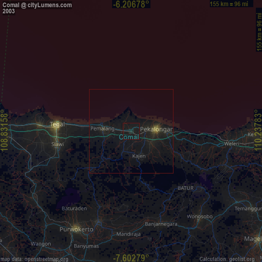
» NASA city lights 2003
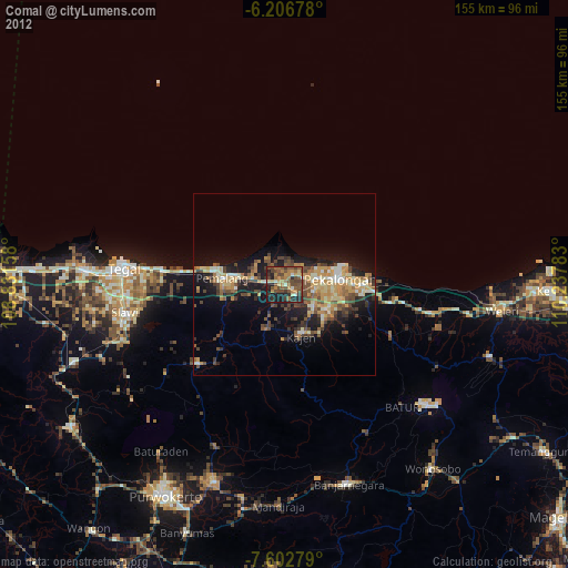
» Earth at Night: Flat Maps 2012, 2016