Kedungwuni night lights from space
Night Light of Kedungwuni (Central Java) from space (Indonesia) Src. Average luminocity for 10x10km area is 32.5952% and for 50x50km: 7.116%.
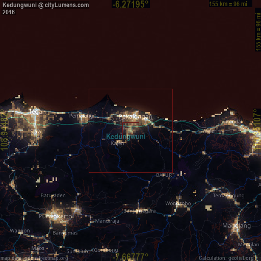
Analysis of Kedungwuni night lights 2016
Square area 10x10 km:
 0%
0%90-99
0%80-89
0%70-79
4.33%60-69
8.23%50-59
12.34%40-49
12.99%30-39
14.5%20-29
14.72%10-19
16.23%0-9
16.67%Square area 50x50 km:
0.19%90-99
0.61%80-89
0.71%70-79
0.73%60-69
1.17%50-59
1.61%40-49
1.96%30-39
1.96%20-29
2.23%10-19
5.41%0-9
83.41%Clear (daylight) street map image can be seen on geolist.org.
Map coordinates:
6° 16' 19" South, 108° 56' 41.4" East
6° 58' 13.4" South, 109° 38' 52.6" East
7° 40' 4" South, 110° 21' 3.9" East
Some cities around Kedungwuni sort by population:
• Pekalongan
9.6 km =6 mi,  18°
18°
• Pemalang
30.6 km =19 mi,  286°
286°
• Weleri
46.2 km =28.7 mi,  90°
90°
• Comal
14.4 km =8.9 mi,  300°
300°
• Wiradesa
9.3 km =5.8 mi,  339°
339°
• Buaran
14 km =8.7 mi,  230°
230°
• Wonopringgo
3.7 km =2.3 mi,  247°
247°
• Randudongkal
38.4 km =23.9 mi, 248°
1640581 (p: 117,249)
Sources (retrieved 2019-11-25):
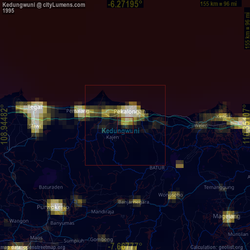
» NASA, Earths city lights 1995
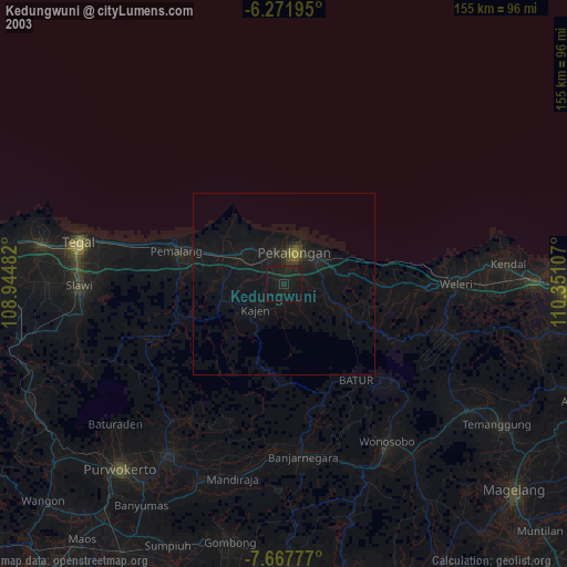
» NASA city lights 2003
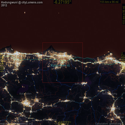
» Earth at Night: Flat Maps 2012, 2016