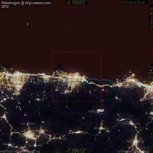
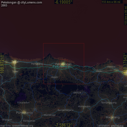
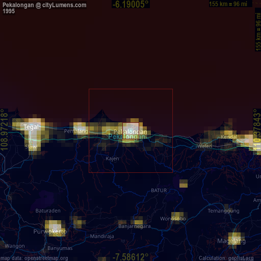
Pekalongan night lights from space
Night Light of Pekalongan (Central Java) from space (Indonesia) Src. Average luminocity for 10x10km area is 50.6212% and for 50x50km: 7.1015%.

Analysis of Pekalongan night lights 2016
Square area 10x10 km:
 3.46%
3.46%90-99
8.23%80-89
6.49%70-79
9.09%60-69
9.52%50-59
12.55%40-49
14.29%30-39
7.36%20-29
9.52%10-19
18.83%0-9
0.65%Square area 50x50 km:
0.19%90-99
0.61%80-89
0.76%70-79
0.76%60-69
1.19%50-59
1.63%40-49
1.95%30-39
1.91%20-29
2.14%10-19
5.23%0-9
83.64%Clear (daylight) street map image can be seen on geolist.org.
Map coordinates:
6° 11' 24.2" South, 108° 58' 19.8" East
6° 53' 19" South, 109° 40' 31.1" East
7° 35' 10" South, 110° 22' 42.3" East
Some cities around Pekalongan sort by population:
• Pemalang
32.3 km =20.1 mi,  269°
269°
• Kedungwuni
9.6 km =6 mi,  198°
198°
• Weleri
44.2 km =27.5 mi,  102°
102°
• Comal
15.6 km =9.7 mi,  263°
263°
• Wiradesa
6.2 km =3.9 mi, 266°
• Buaran
22.7 km =14.1 mi,  217°
217°
• Wonopringgo
12.4 km =7.7 mi,  211°
211°
• Randudongkal
45.2 km =28.1 mi,  238°
238°
1631766 (p: 257,945)
Sources (retrieved 2019-11-25):
» NASA, Earths city lights 1995
» NASA city lights 2003
» Earth at Night: Flat Maps 2012, 2016