Ambarawa night lights from space
Night Light of Ambarawa (Central Java) from space (Indonesia) Src. Average luminocity for 10x10km area is 21.6039% and for 50x50km: 12.7397%.
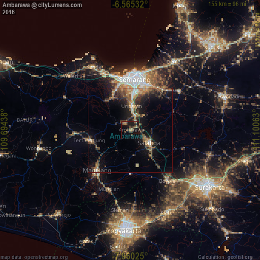
Analysis of Ambarawa night lights 2016
Square area 10x10 km:
 0%
0%90-99
0%80-89
1.95%70-79
3.46%60-69
4.33%50-59
8.44%40-49
4.98%30-39
3.03%20-29
4.33%10-19
25.11%0-9
44.37%Square area 50x50 km:
0.57%90-99
1.19%80-89
1.28%70-79
1.73%60-69
2.28%50-59
2.92%40-49
2.84%30-39
2.36%20-29
4.08%10-19
9.82%0-9
70.91%Clear (daylight) street map image can be seen on geolist.org.
Map coordinates:
6° 33' 55.2" South, 109° 41' 39.8" East
7° 15' 48" South, 110° 23' 51" East
7° 57' 36.9" South, 111° 6' 2.3" East
Some cities around Ambarawa sort by population:
• Semarang
30.2 km =18.8 mi,  4°
4°
• Salatiga
13 km =8.1 mi,  125°
125°
• Ungaran
13.8 km =8.6 mi, 3°
• Magelang
30.4 km =18.9 mi,  220°
220°
• Mertoyudan
34.2 km =21.3 mi,  213°
213°
• Boyolali
37.1 km =23.1 mi,  143°
143°
• Muntilan
37.2 km =23.1 mi,  198°
198°
• Mranggen
29.4 km =18.3 mi,  26°
26°
1651555 (p: 84,379)
Sources (retrieved 2019-11-25):
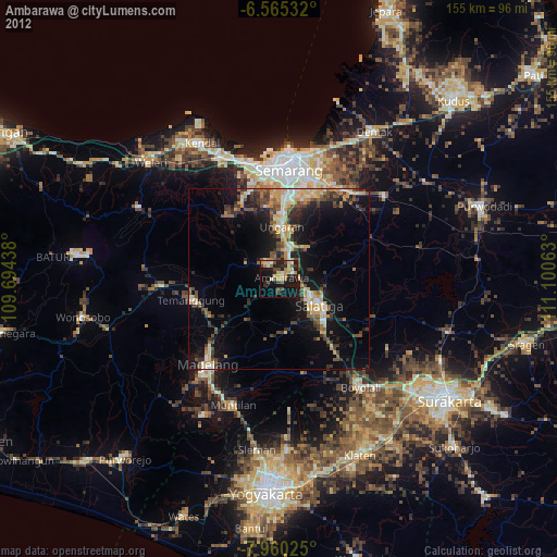
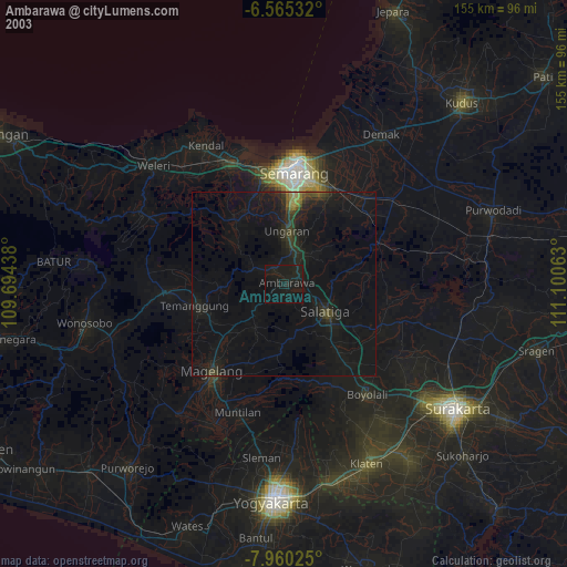
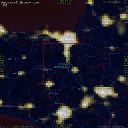
» NASA, Earths city lights 1995
» NASA city lights 2003
» Earth at Night: Flat Maps 2012, 2016