Ungaran night lights from space
Night Light of Ungaran (Central Java) from space (Indonesia) Src. Average luminocity for 10x10km area is 41.8896% and for 50x50km: 25.369%.
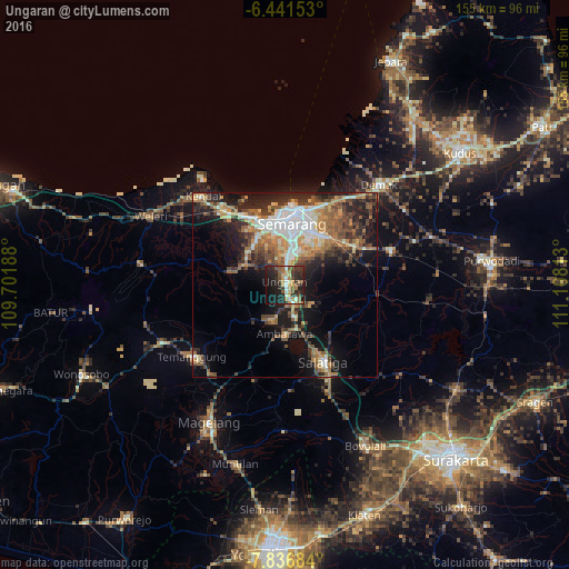
Analysis of Ungaran night lights 2016
Square area 10x10 km:
 2.16%
2.16%90-99
6.93%80-89
4.76%70-79
6.93%60-69
6.71%50-59
9.09%40-49
5.19%30-39
9.52%20-29
22.73%10-19
22.08%0-9
3.9%Square area 50x50 km:
3.95%90-99
4.01%80-89
2.48%70-79
3.58%60-69
4.31%50-59
4.44%40-49
4.37%30-39
3.82%20-29
7.42%10-19
12.48%0-9
49.14%Clear (daylight) street map image can be seen on geolist.org.
Map coordinates:
6° 26' 29.5" South, 109° 42' 6.8" East
7° 8' 23" South, 110° 24' 18" East
7° 50' 12.6" South, 111° 6' 29.3" East
Some cities around Ungaran sort by population:
• Semarang
16.4 km =10.2 mi,  6°
6°
• Salatiga
23.5 km =14.6 mi,  155°
155°
• Magelang
42.2 km =26.2 mi,  209°
209°
• Ambarawa
13.8 km =8.6 mi,  183°
183°
• Mertoyudan
46.6 km =29 mi,  204°
204°
• Weleri
41.8 km =26 mi,  296°
296°
• Mranggen
17.5 km =10.9 mi,  44°
44°
• Demak
37.9 km =23.5 mi, 43°
1622636 (p: 127,812)
Sources (retrieved 2019-11-25):
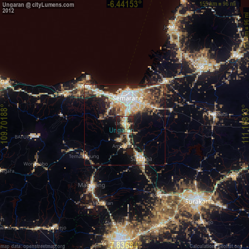
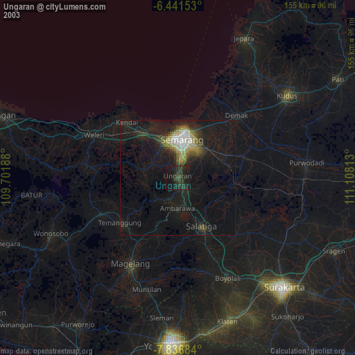
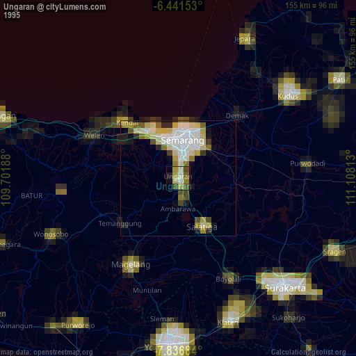
» NASA, Earths city lights 1995
» NASA city lights 2003
» Earth at Night: Flat Maps 2012, 2016