Mranggen night lights from space
Night Light of Mranggen (Central Java) from space (Indonesia) Src. Average luminocity for 10x10km area is 61.1991% and for 50x50km: 25.4375%.
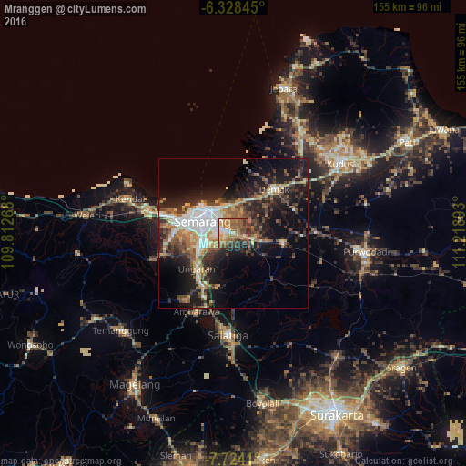
Analysis of Mranggen night lights 2016
Square area 10x10 km:
 6.93%
6.93%90-99
7.36%80-89
8.23%70-79
8.01%60-69
23.81%50-59
15.15%40-49
14.29%30-39
6.49%20-29
7.79%10-19
1.95%0-9
0%Square area 50x50 km:
3.87%90-99
4.08%80-89
2.41%70-79
3.11%60-69
4.15%50-59
4.21%40-49
4.13%30-39
4.57%20-29
7.84%10-19
14.48%0-9
47.16%Clear (daylight) street map image can be seen on geolist.org.
Map coordinates:
6° 19' 42.4" South, 109° 48' 45.6" East
7° 1' 36.5" South, 110° 30' 56.9" East
7° 43' 26.8" South, 111° 13' 8.1" East
Some cities around Mranggen sort by population:
• Semarang
11.1 km =6.9 mi,  289°
289°
• Salatiga
34 km =21.1 mi,  184°
184°
• Ungaran
17.5 km =10.9 mi,  224°
224°
• Kudus
43.5 km =27 mi,  55°
55°
• Ambarawa
29.4 km =18.3 mi,  206°
206°
• Pecangaan
42.4 km =26.3 mi,  30°
30°
• Demak
20.4 km =12.7 mi,  42°
42°
• Welahan
33.6 km =20.9 mi, 41°
1634954 (p: 28,026)
Sources (retrieved 2019-11-25):
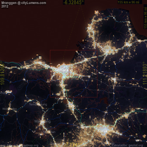
» Earth at Night: Flat Maps 2012, 2016