Watampone night lights from space
Night Light of Watampone (South Sulawesi) from space (Indonesia) Src. Average luminocity for 10x10km area is 19.7459% and for 50x50km: 1.3851%.
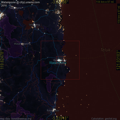
Analysis of Watampone night lights 2016
Square area 10x10 km:
 3.51%
3.51%90-99
7.02%80-89
0.21%70-79
0.83%60-69
0.41%50-59
0.62%40-49
1.24%30-39
2.69%20-29
4.34%10-19
14.26%0-9
64.88%Square area 50x50 km:
0.19%90-99
0.39%80-89
0.03%70-79
0.11%60-69
0.14%50-59
0.1%40-49
0.11%30-39
0.18%20-29
0.25%10-19
0.61%0-9
97.89%Clear (daylight) street map image can be seen on geolist.org.
Map coordinates:
3° 50' 14.5" South, 119° 37' 29.2" East
4° 32' 19" South, 120° 19' 40.4" East
5° 14' 21" South, 121° 1' 51.7" East
Some cities around Watampone sort by population:
• Makassar
120.2 km =74.7 mi,  235°
235°
• Parepare
97.3 km =60.5 mi,  306°
306°
• Palopo
172.5 km =107.2 mi,  355°
355°
• Galesong
137.2 km =85.3 mi,  230°
230°
• Sengkang
56.4 km =35 mi,  324°
324°
• Polewali
164.5 km =102.2 mi, 318°
• Sinjai
65.6 km =40.8 mi,  187°
187°
• Maros
98.5 km =61.2 mi, 238°
1621884 (p: 81,629)
Sources (retrieved 2019-11-25):
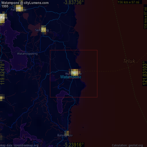
» NASA, Earths city lights 1995
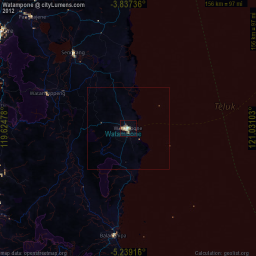
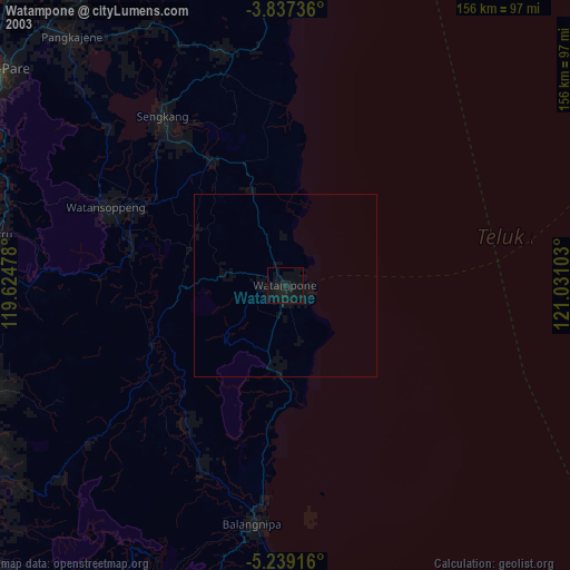
» NASA city lights 2003
» Earth at Night: Flat Maps 2012, 2016