Maros night lights from space
Night Light of Maros (South Sulawesi) from space (Indonesia) Src. Average luminocity for 10x10km area is 23.5723% and for 50x50km: 15.1492%.
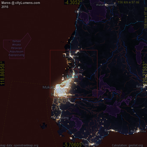
Analysis of Maros night lights 2016
Square area 10x10 km:
 1.45%
1.45%90-99
4.55%80-89
1.86%70-79
1.65%60-69
1.65%50-59
1.65%40-49
5.79%30-39
4.75%20-29
12.6%10-19
27.89%0-9
36.16%Square area 50x50 km:
3.46%90-99
4.13%80-89
1.62%70-79
0.67%60-69
0.69%50-59
1.39%40-49
2.78%30-39
2.36%20-29
3.52%10-19
6.38%0-9
73.01%Clear (daylight) street map image can be seen on geolist.org.
Map coordinates:
4° 18' 18.7" South, 118° 52' 10.5" East
5° 0' 21.6" South, 119° 34' 21.7" East
5° 42' 21.8" South, 120° 16' 33" East
Some cities around Maros sort by population:
• Makassar
22.2 km =13.8 mi,  224°
224°
• Parepare
110.5 km =68.7 mi,  3°
3°
• Galesong
41.4 km =25.7 mi,  213°
213°
• Watampone
98.5 km =61.2 mi,  58°
58°
• Sengkang
110 km =68.4 mi,  27°
27°
• Polewali
176.8 km =109.9 mi,  351°
351°
• Sinjai
76.5 km =47.5 mi,  99°
99°
• Majene
176.1 km =109.4 mi,  337°
337°
1636029 (p: 30,000)
Sources (retrieved 2019-11-25):
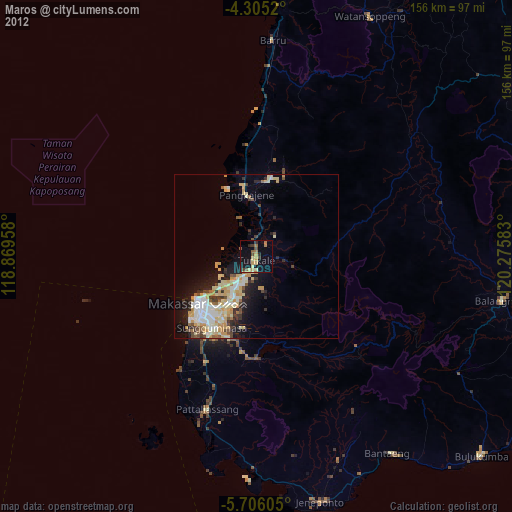
» Earth at Night: Flat Maps 2012, 2016