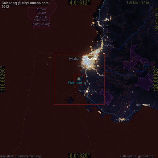
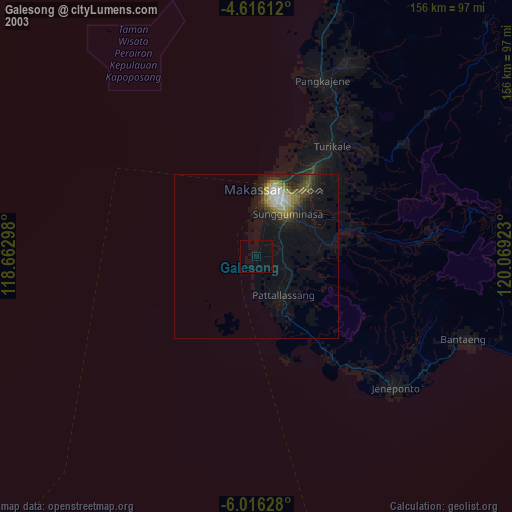
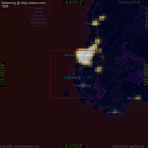
Galesong night lights from space
Night Light of Galesong (South Sulawesi) from space (Indonesia) Src. Average luminocity for 10x10km area is 7.6116% and for 50x50km: 12.9226%.

Analysis of Galesong night lights 2016
Square area 10x10 km:
 0%
0%90-99
0%80-89
0%70-79
0%60-69
0%50-59
0%40-49
4.75%30-39
6.2%20-29
3.1%10-19
7.23%0-9
78.72%Square area 50x50 km:
2.78%90-99
3.32%80-89
1.09%70-79
0.52%60-69
0.75%50-59
0.81%40-49
3.15%30-39
3.44%20-29
3.54%10-19
4.52%0-9
76.09%Clear (daylight) street map image can be seen on geolist.org.
Map coordinates:
4° 36' 58" South, 118° 39' 46.7" East
5° 18' 59.8" South, 119° 21' 58" East
6° 0' 58.6" South, 120° 4' 9.2" East
Some cities around Galesong sort by population:
• Makassar
20.1 km =12.5 mi,  21°
21°
• Parepare
147.7 km =91.8 mi,  11°
11°
• Watampone
137.2 km =85.3 mi,  50°
50°
• Sengkang
151.2 km =94 mi,  29°
29°
• Polewali
209.5 km =130.2 mi,  359°
359°
• Sinjai
100.5 km =62.4 mi,  77°
77°
• Majene
202.3 km =125.7 mi,  347°
347°
• Maros
41.4 km =25.7 mi, 33°
1644605 (p: 83,050)
Sources (retrieved 2019-11-25):
» NASA, Earths city lights 1995
» NASA city lights 2003
» Earth at Night: Flat Maps 2012, 2016