Palopo night lights from space
Night Light of Palopo (South Sulawesi) from space (Indonesia) Src. Average luminocity for 10x10km area is 54.4091% and for 50x50km: 26.0358%.
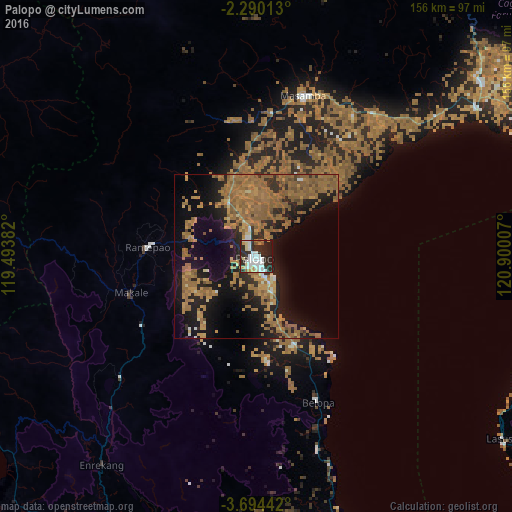
Analysis of Palopo night lights 2016
Square area 10x10 km:
 16.02%
90-99
13.85%80-89
6.06%70-79
4.98%60-69
2.81%50-59
1.73%40-49
0%30-39
4.33%20-29
41.13%10-19
9.09%0-9
0%Square area 50x50 km:
1%90-99
1.1%80-89
1.51%70-79
4.63%60-69
13%50-59
7.72%40-49
1.68%30-39
1.21%20-29
7.68%10-19
18.28%0-9
42.2%Clear (daylight) street map image can be seen on geolist.org.
Map coordinates:
2° 17' 24.5" South, 119° 29' 37.8" East
2° 59' 33" South, 120° 11' 49" East
3° 41' 39.9" South, 120° 54' 0.3" East
Some cities around Palopo sort by population:
• Parepare
130 km =80.8 mi,  209°
209°
• Watampone
172.5 km =107.2 mi,  175°
175°
• Sengkang
127.6 km =79.3 mi,  188°
188°
• Polewali
106.6 km =66.2 mi,  242°
242°
• Poso
187.9 km =116.8 mi,  19°
19°
• Rantepao
33.3 km =20.7 mi,  274°
274°
• Majene
149.1 km =92.6 mi,  245°
245°
• Mamuju
149.6 km =93 mi,  283°
283°
1633037 (p: 129,273)
Sources (retrieved 2019-11-25):
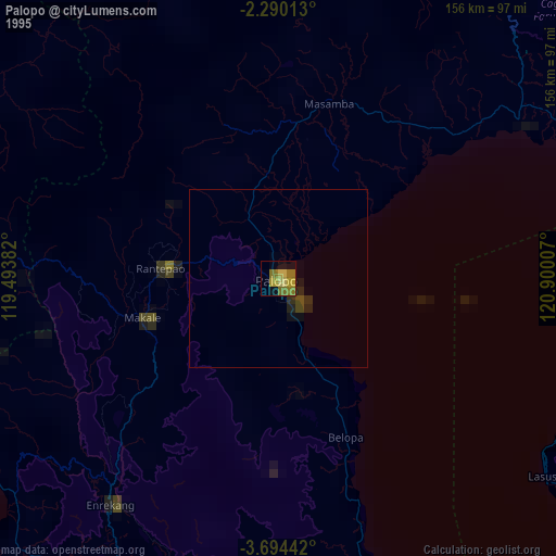
» NASA, Earths city lights 1995
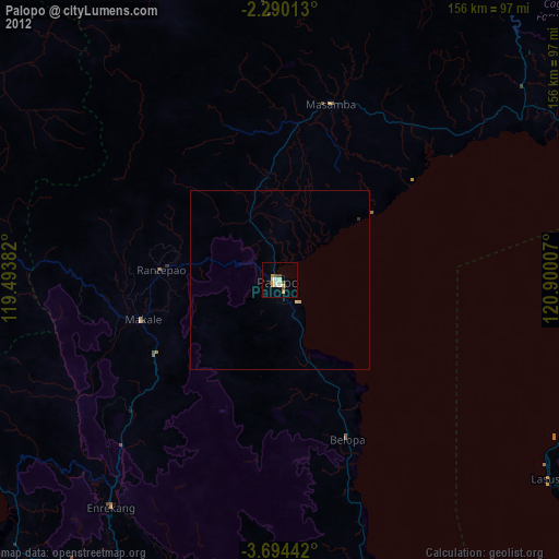
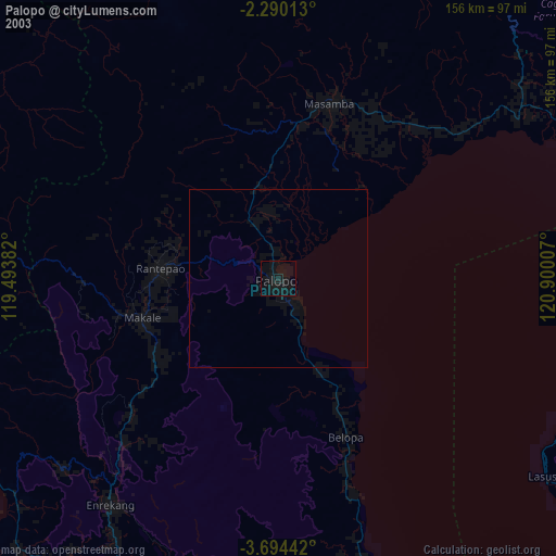
» NASA city lights 2003
» Earth at Night: Flat Maps 2012, 2016