Polewali night lights from space
Night Light of Polewali (West Sulawesi) from space (Indonesia) Src. Average luminocity for 10x10km area is 4.7879% and for 50x50km: 0.2767%.
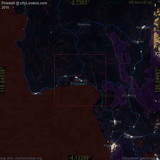
Analysis of Polewali night lights 2016
Square area 10x10 km:
 1.3%
1.3%90-99
1.3%80-89
0%70-79
0%60-69
0%50-59
0%40-49
0%30-39
3.25%20-29
2.38%10-19
0%0-9
91.77%Square area 50x50 km:
0.05%90-99
0.05%80-89
0%70-79
0%60-69
0%50-59
0%40-49
0.07%30-39
0.2%20-29
0.17%10-19
0.01%0-9
99.45%Clear (daylight) street map image can be seen on geolist.org.
Map coordinates:
2° 43' 49.1" South, 118° 38' 25.4" East
3° 25' 56.6" South, 119° 20' 36.6" East
4° 8' 2.4" South, 120° 2' 47.9" East
Some cities around Polewali sort by population:
• Parepare
71.8 km =44.6 mi,  154°
154°
• Palopo
106.6 km =66.2 mi,  62°
62°
• Watampone
164.5 km =102.2 mi,  138°
138°
• Sengkang
108.5 km =67.4 mi, 135°
• Rantepao
80.2 km =49.8 mi,  50°
50°
• Majene
43.1 km =26.8 mi,  253°
253°
• Maros
176.8 km =109.9 mi,  171°
171°
• Mamuju
97.8 km =60.8 mi,  328°
328°
1630935 (p: 58,190)
Sources (retrieved 2019-11-25):
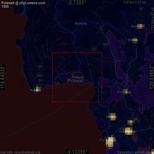
» NASA, Earths city lights 1995
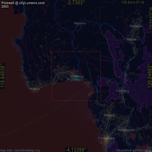
» NASA city lights 2003
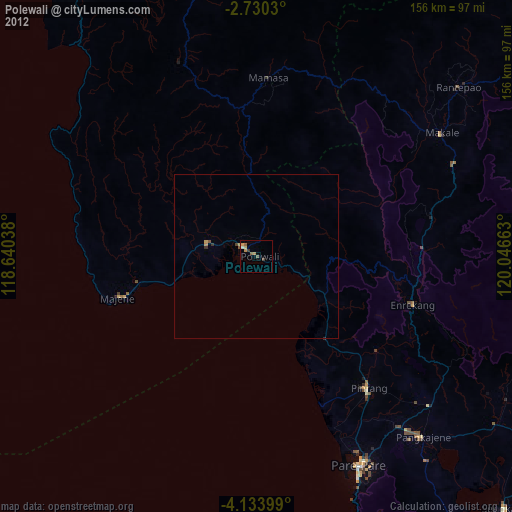
» Earth at Night: Flat Maps 2012, 2016