Sengkang night lights from space
Night Light of Sengkang (South Sulawesi) from space (Indonesia) Src. Average luminocity for 10x10km area is 14.1364% and for 50x50km: 1.327%.
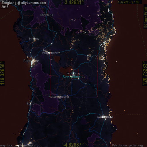
Analysis of Sengkang night lights 2016
Square area 10x10 km:
 1.52%
1.52%90-99
3.68%80-89
0.87%70-79
2.6%60-69
1.08%50-59
0.22%40-49
0.22%30-39
3.46%20-29
4.55%10-19
3.46%0-9
78.35%Square area 50x50 km:
0.11%90-99
0.23%80-89
0.03%70-79
0.12%60-69
0.04%50-59
0.04%40-49
0.25%30-39
0.41%20-29
0.99%10-19
0.46%0-9
97.32%Clear (daylight) street map image can be seen on geolist.org.
Map coordinates:
3° 25' 34.7" South, 119° 19' 35.7" East
4° 7' 40.4" South, 120° 1' 46.9" East
4° 49' 43.9" South, 120° 43' 58.2" East
Some cities around Sengkang sort by population:
• Makassar
131.4 km =81.6 mi,  210°
210°
• Parepare
46.6 km =29 mi,  285°
285°
• Palopo
127.6 km =79.3 mi,  8°
8°
• Watampone
56.4 km =35 mi,  144°
144°
• Polewali
108.5 km =67.4 mi,  315°
315°
• Sinjai
113.5 km =70.5 mi,  167°
167°
• Rantepao
129.6 km =80.5 mi,  353°
353°
• Maros
110 km =68.4 mi, 207°
1626921 (p: 59,523)
Sources (retrieved 2019-11-25):
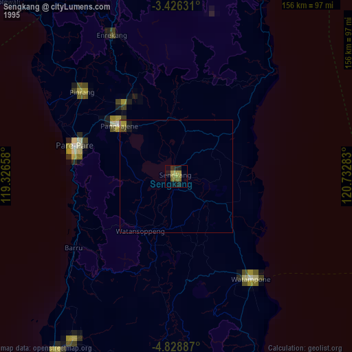
» NASA, Earths city lights 1995
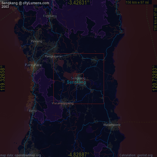
» NASA city lights 2003
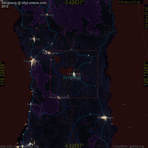
» Earth at Night: Flat Maps 2012, 2016